
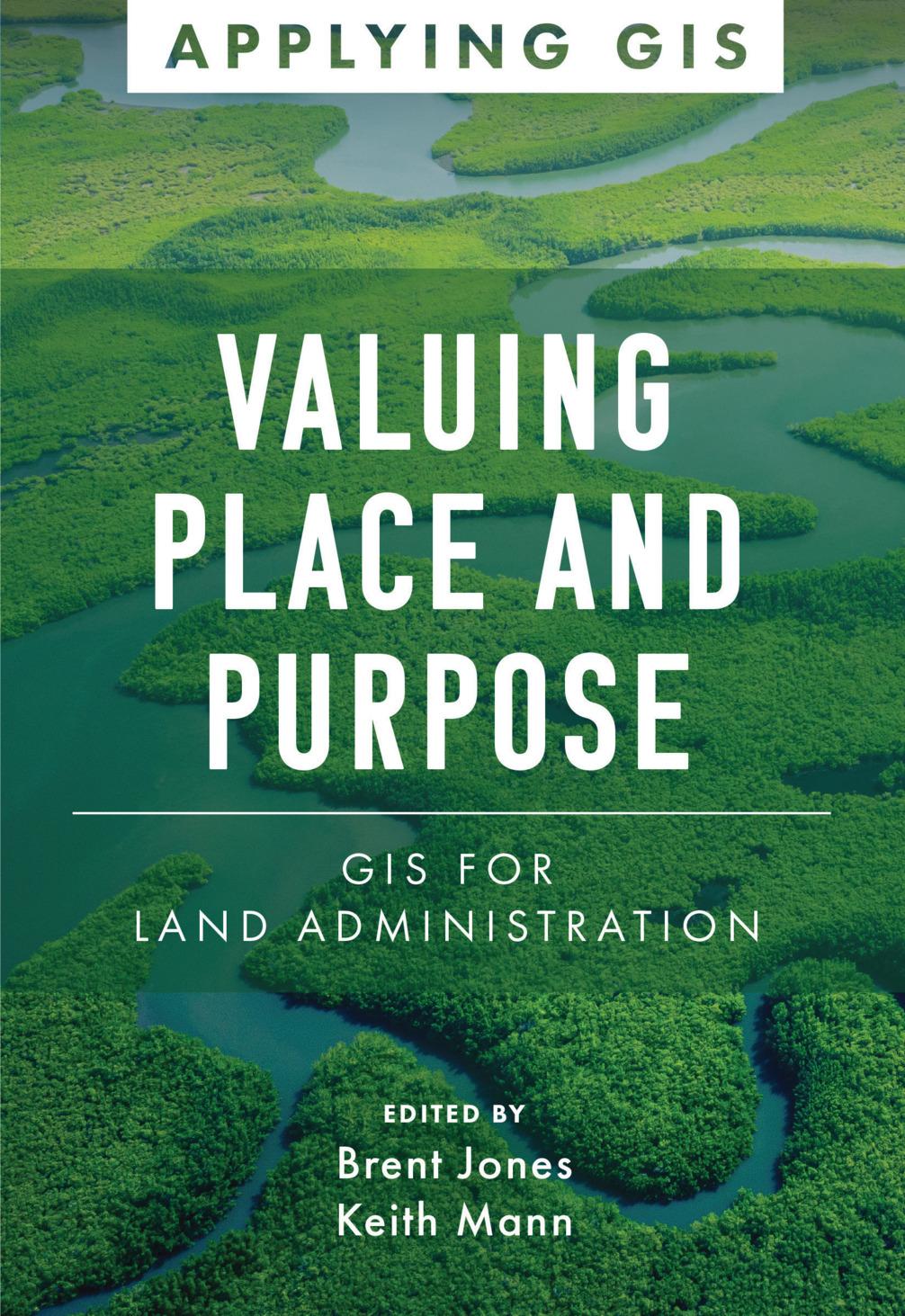
Modern land administration applies geospatial thinking to better understand and plan the proper use, conservation, and equitable use of land and property.
Location intelligence is changing the way land administration works to protect and maintain appropriate land use and achieve better economic, environmental, and social benefits. The real-life stories in Valuing Place and Purpose: GIS for Land Administration show how communities, government agencies, nonprofits, and other organizations implement geographic information systems (GIS) in four key areas:
· Visualizing parcels and property
· Managing land use
· Strengthening climate and conservation efforts
· Addressing land rights, equity, and social justice
The book also includes a special section to help readers get started using web apps, online maps, dashboards, and other GIS solutions to represent and understand the value of land and property and efficiently manage, edit, and share land parcel data more accurately.
Paga fácilmente con tarjeta, Klarna, Apple Pay o Google Pay. ¿No estás contento? Siempre tienes 14 días de garantía de devolución. Lee más en nuestros términos. Si tienes preguntas, escríbenos a hello@memmo.org.
Memmo hace que estudiar sea más fácil, estés donde estés. Aquí tienes tus libros de texto y herramientas de estudio inteligentes en un solo lugar: resúmenes, quizzes, podcasts y flashcards. Y también a Ted, tu compañero de estudio que responde a todo lo que te preguntes. Más de 50 000 estudiantes ya estudian aquí. Está hecho para que aprendas más rápido y te estreses menos.