
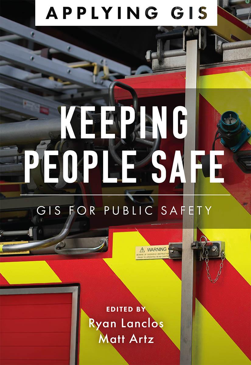
Discover a modern approach to help mitigate threats to public safety in your community.
Creating safer, less vulnerable communities requires a modern approach to understanding threats and hazards that are more complex, costly, and devastating than ever before. Public safety agencies around the world rely on geographic information systems (GIS) technology every day to prevent, protect against, and mitigate the effects of threats and hazards in their communities. By applying GIS, you'll develop a deeper understanding of these complex threats to help you better respond to and recover from the threats that pose the greatest risk to keeping your community safe and ultimately build the resilience needed for the future.
Keeping People Safe: GIS for Public Safety explores a collection of real-life case studies about emergency management, law enforcement, fire, rescue, emergency medical services, and homeland security agencies successfully using GIS for real and potential threats. The book also includes a “how to get started” section that provides ideas, strategies, tools, and actions to help jump-start your own use of GIS for public safety. A collection of online resources, including additional stories, videos, new ideas and concepts, and downloadable tools and content, complements this book.
Paga fácilmente con tarjeta, Klarna, Apple Pay o Google Pay. ¿No estás contento? Siempre tienes 14 días de garantía de devolución. Lee más en nuestros términos. Si tienes preguntas, escríbenos a hello@memmo.org.
Memmo hace que estudiar sea más fácil, estés donde estés. Aquí tienes tus libros de texto y herramientas de estudio inteligentes en un solo lugar: resúmenes, quizzes, podcasts y flashcards. Y también a Ted, tu compañero de estudio que responde a todo lo que te preguntes. Más de 50 000 estudiantes ya estudian aquí. Está hecho para que aprendas más rápido y te estreses menos.