
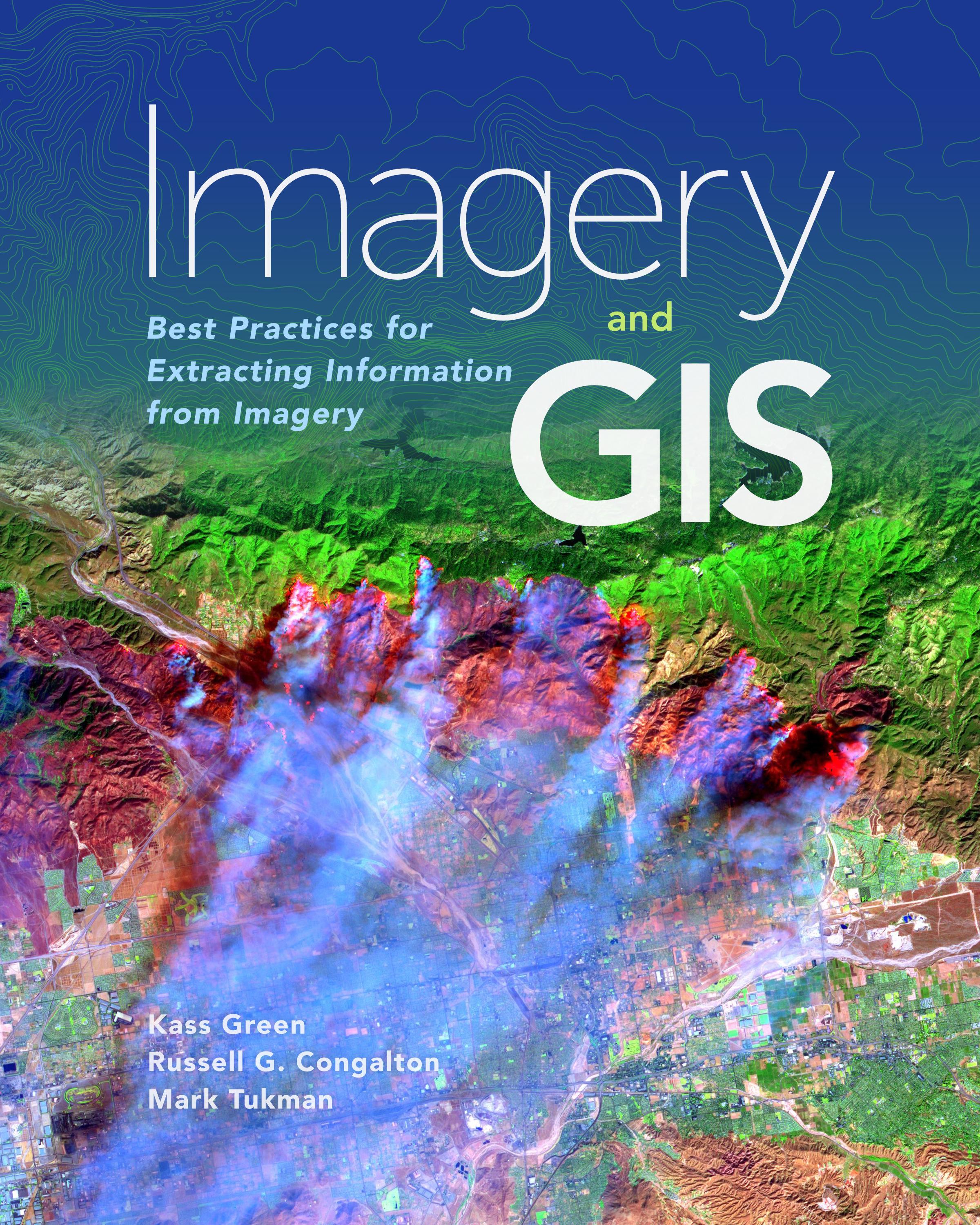
Imagery and GIS, working together, expand our perspective so that we can better perceive and understand The Science of Where™.
Today, most maps include imagery in the form of aerial photos, satellite images, thermal images, digital elevation models, and scanned maps. Imagery and GIS: Best Practices for Extracting Information from Imagery shows how imagery can be integrated successfully into GIS maps and analysis. In this essential reference, discover how imagery brings value to GIS and how GIS can be used to derive value from imagery. Learn from case studies and in-depth explanations about selecting the ‘right’ imagery, image analysis, how to efficiently manage and serve imagery datasets, and how to accurately extract information from imagery. The authors’ experience working together on numerous research, teaching, and operational remote sensing and GIS applications bestow the book with both the newest innovations, as well as proven advice.
Apply the best practices found in Imagery and GIS: Best Practices for Extracting Information from Imagery to obtain the most value from imagery in your own GIS projects.
Paga fácilmente con tarjeta, Klarna, Apple Pay o Google Pay. ¿No estás contento? Siempre tienes 14 días de garantía de devolución. Lee más en nuestros términos. Si tienes preguntas, escríbenos a hello@memmo.org.
Memmo hace que estudiar sea más fácil, estés donde estés. Aquí tienes tus libros de texto y herramientas de estudio inteligentes en un solo lugar: resúmenes, quizzes, podcasts y flashcards. Y también a Ted, tu compañero de estudio que responde a todo lo que te preguntes. Más de 50 000 estudiantes ya estudian aquí. Está hecho para que aprendas más rápido y te estreses menos.