
"Abernathy provides a truly accessible and interdisciplinary introduction to geodata and geolocation covering both the conceptual and the practical. It is a must read for students or researchers looking to make the most of the spatial elements of their data" - Luke Sloan, Senior Lecturer in Quantitative Methods, Cardiff University
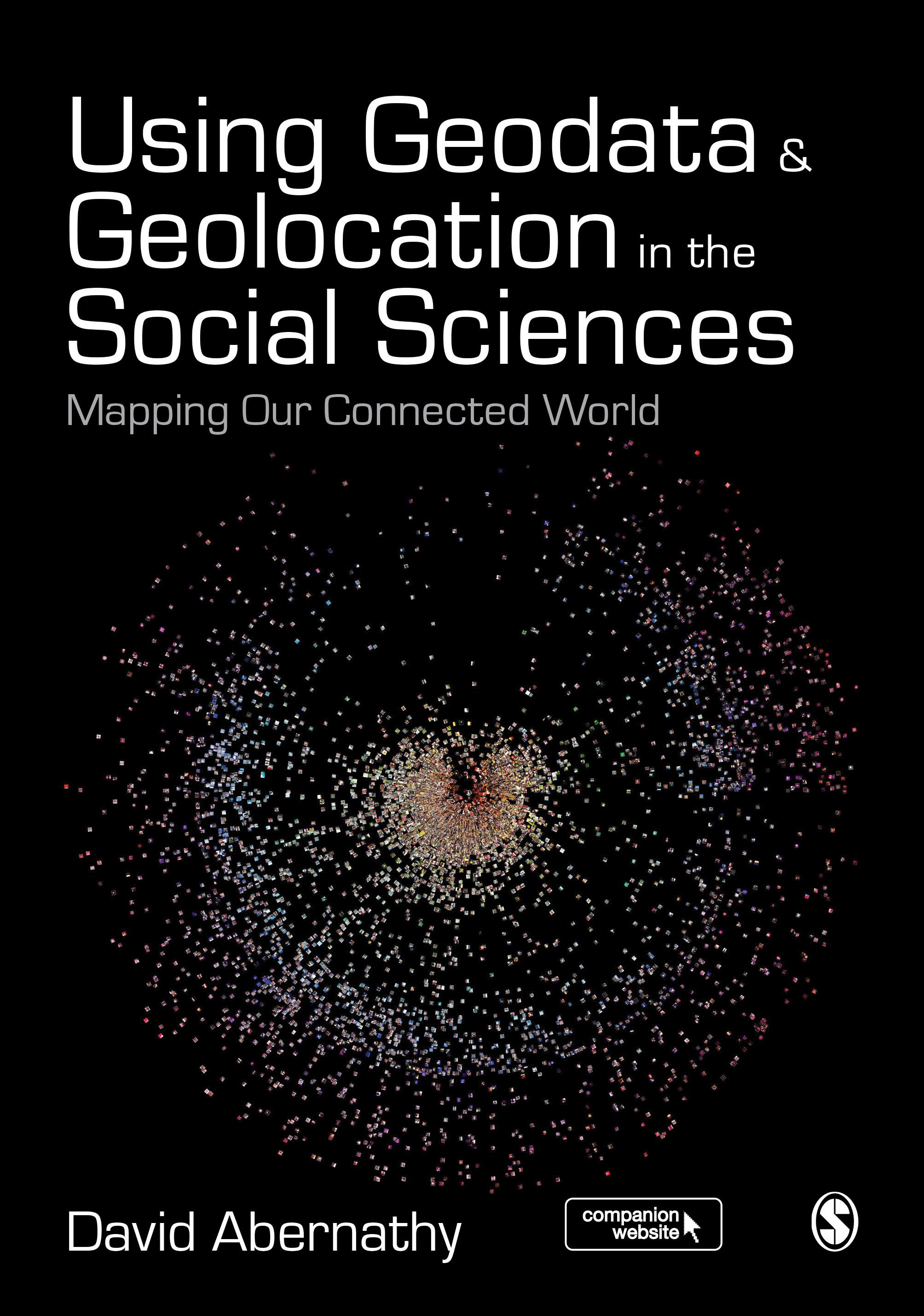
Using Geodata and Geolocation in the Social Sciences: Mapping our Connected World provides an engaging and accessible introduction to the Geoweb with clear, step-by-step guides for:
- Capturing Geodata from sources including GPS, sensor networks and Twitter
- Visualizing Geodata using programmes including QGIS, GRASS and R
Featuring colour images, practical exercises walking you through using data sources, and a companion website packed with resources, this book is the perfect guide for students and teachers looking to incorporate location-based data into their social science research.
Paga fácilmente con tarjeta, Klarna, Apple Pay o Google Pay. ¿No estás contento? Siempre tienes 14 días de garantía de devolución. Lee más en nuestros términos. Si tienes preguntas, escríbenos a hello@memmo.org.
Memmo hace que estudiar sea más fácil, estés donde estés. Aquí tienes tus libros de texto y herramientas de estudio inteligentes en un solo lugar: resúmenes, quizzes, podcasts y flashcards. Y también a Ted, tu compañero de estudio que responde a todo lo que te preguntes. Más de 50 000 estudiantes ya estudian aquí. Está hecho para que aprendas más rápido y te estreses menos.