
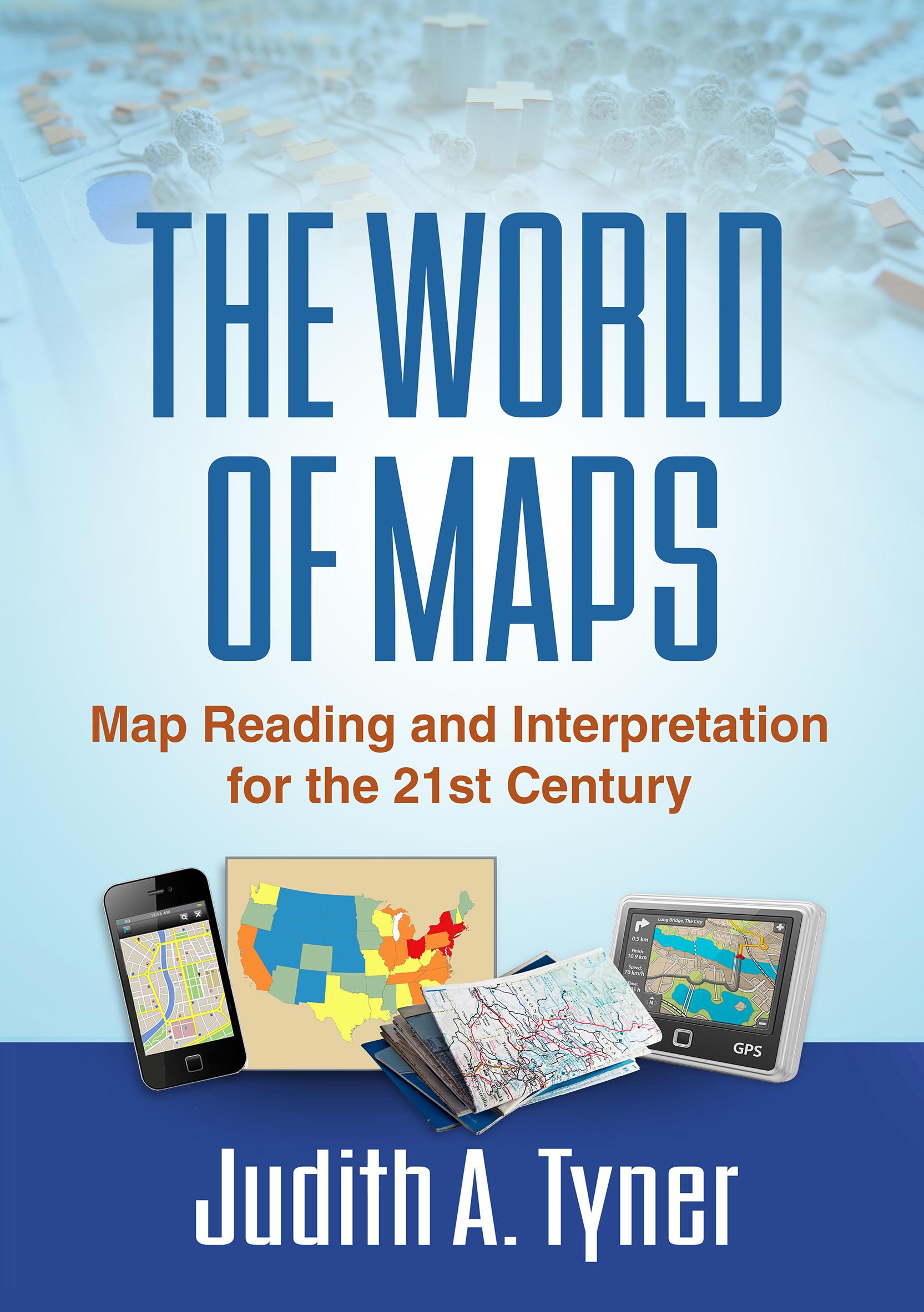
Maps have power--they can instruct, make life easier, mislead, or even lie. This engaging text provides the tools to read, analyze, and use any kind of map and assess its strengths and weaknesses. Requiring no advanced math skills, the book presents basic concepts of symbolization, scale, coordinate systems, and projections. It gives students a deeper understanding of the types of maps they encounter every day, from turn-by-turn driving directions to the TV weather report. Readers also learn how to use multiple maps and imagery to analyze an area or region. The book includes 168 figures, among them 22 color plates; most of the figures can be downloaded as PowerPoint slides from the companion website. Appendices contain a glossary, recommended resources, a table of commonly used projections, and more.
Paga fácilmente con tarjeta, Klarna, Apple Pay o Google Pay. ¿No estás contento? Siempre tienes 14 días de garantía de devolución. Lee más en nuestros términos. Si tienes preguntas, escríbenos a hello@memmo.org.
Memmo hace que estudiar sea más fácil, estés donde estés. Aquí tienes tus libros de texto y herramientas de estudio inteligentes en un solo lugar: resúmenes, quizzes, podcasts y flashcards. Y también a Ted, tu compañero de estudio que responde a todo lo que te preguntes. Más de 50 000 estudiantes ya estudian aquí. Está hecho para que aprendas más rápido y te estreses menos.
También te podría gustar
Comprar el libro0