
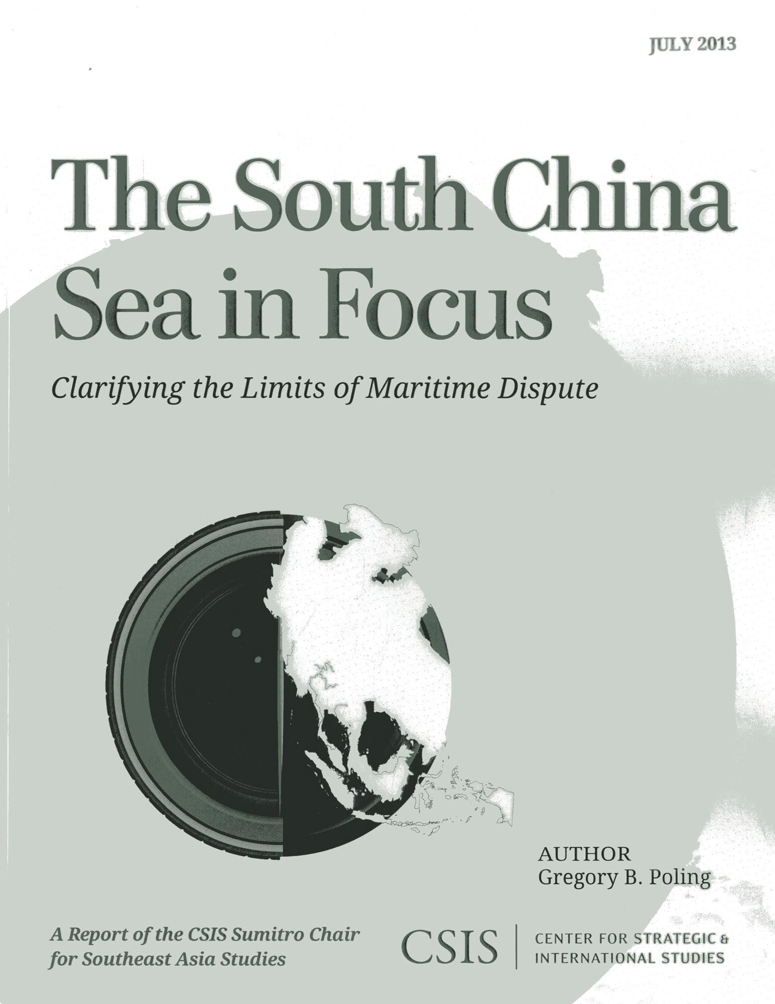
Satellite imagery and geospatial analysis tools offer an unprecedented opportunity to harness new technologies in order to help resolve boundary disputes. The South China Sea in Focus: Clarifying the Limits of Maritime Dispute uses these tools to provide a first and necessary step toward tackling the overlapping maritime disputes in the South China Sea: determining which waters are and are not in dispute under international law. The report opens with a set of geographic information system (GIS)–based maps that provide an easily understandable benchmark against which policymakers and academics can judge the claims and actions of the South China Sea claimants. More detailed color maps and methodological information follow for those who want to dig deeper into the claims and the report’s conclusions.
Páginas: 44
Categoría: Statsvetenskap & Politik
e-ISBN: 9781442224865
Peso de envío: 1.2 kg
Envío en: 1-2 días
Paga fácilmente con tarjeta, Klarna, Apple Pay o Google Pay. ¿No estás contento? Siempre tienes 14 días de garantía de devolución. Lee más en nuestros términos. Si tienes preguntas, escríbenos a hello@memmo.org.
Memmo hace que estudiar sea más fácil, estés donde estés. Aquí tienes tus libros de texto y herramientas de estudio inteligentes en un solo lugar: resúmenes, quizzes, podcasts y flashcards. Y también a Ted, tu compañero de estudio que responde a todo lo que te preguntes. Más de 50 000 estudiantes ya estudian aquí. Está hecho para que aprendas más rápido y te estreses menos.