
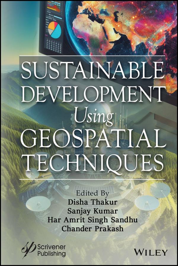
This book is a must-have for anyone interested in leveraging geospatial technology, as it covers a wide range of applications and offers valuable insights into the mapping, visualization, and analysis of natural resource planning using GIS, remote sensing, and GPS.
Geospatial technology (GT) is a combination of geographic information systems (GIS), remote sensing (RS), and the global position system (GPS) for the mapping, visualization, and analysis of natural resource planning. Nowadays, GIS is widely used throughout the globe for a wide range of applications. GIS is a system that combines locations, geography, hardware, software, statistics, planning, and digital mapping. GIS is a system in which one can store, manipulate, analyze, and visualize or display spatial data. The basic components of GIS are hardware, software, data, input, and manpower. One can develop spatial, temporal, and dynamic models using GIS, which may help in effective decision-making tools.
Geospatial information is a computer programme that collects, stores, verifies, and presents information on locations on the surface of the Earth. Geographical information systems play a key role in sustainable development. Geospatial technology combines traditional database operations like query and statistical analysis with the specific graphical and geographic analytical capabilities offered by maps.
Paga fácilmente con tarjeta, Klarna, Apple Pay o Google Pay. ¿No estás contento? Siempre tienes 14 días de garantía de devolución. Lee más en nuestros términos. Si tienes preguntas, escríbenos a hello@memmo.org.
Memmo hace que estudiar sea más fácil, estés donde estés. Aquí tienes tus libros de texto y herramientas de estudio inteligentes en un solo lugar: resúmenes, quizzes, podcasts y flashcards. Y también a Ted, tu compañero de estudio que responde a todo lo que te preguntes. Más de 50 000 estudiantes ya estudian aquí. Está hecho para que aprendas más rápido y te estreses menos.