
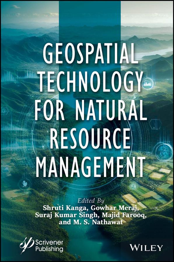
This book is essential for anyone interested in understanding and implementing sustainable resource development strategies, as it covers the crucial first stage of assessing resource availability and condition, along with the use of modern geospatial technologies such as remote sensing, GIS, and GPS for surveying, mapping, and monitoring various resources for global environmental protection and sustainable development.
The first step in developing a sustainable resource strategy is assessing the availability and condition of resources. This involves evaluating baseline levels, identifying trends, and understanding their consequences. Mitigation policies are then developed based on this assessment. Modern geospatial technologies like Remote Sensing (RS), Geographic Information Systems (GIS), and Global Positioning Systems (GPS) offer powerful tools for surveying, mapping, and monitoring both renewable and nonrenewable resources. These technologies support global environmental protection, disaster management, and sustainable development by providing repetitive and global data. GPS provides accurate geographic coordinates, while GIS allows visualization, analysis, and decision-making through spatial data, enabling the study of complex environmental and natural resource challenges at various scales.
Paga fácilmente con tarjeta, Klarna, Apple Pay o Google Pay. ¿No estás contento? Siempre tienes 14 días de garantía de devolución. Lee más en nuestros términos. Si tienes preguntas, escríbenos a hello@memmo.org.
Memmo hace que estudiar sea más fácil, estés donde estés. Aquí tienes tus libros de texto y herramientas de estudio inteligentes en un solo lugar: resúmenes, quizzes, podcasts y flashcards. Y también a Ted, tu compañero de estudio que responde a todo lo que te preguntes. Más de 50 000 estudiantes ya estudian aquí. Está hecho para que aprendas más rápido y te estreses menos.