
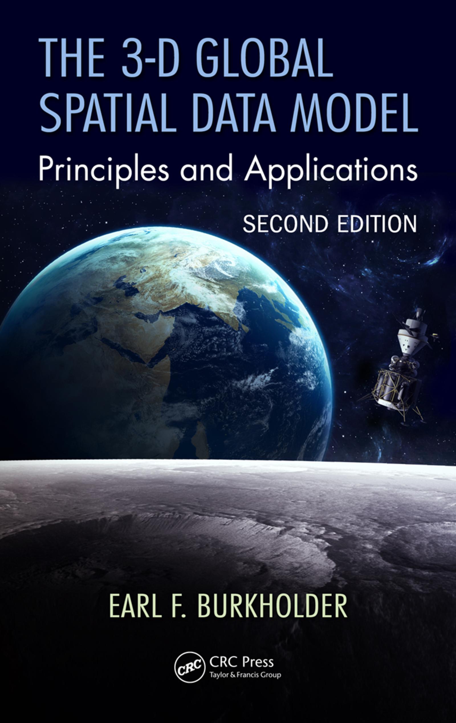
Traditional methods for handling spatial data are encumbered by the assumption of separate origins for horizontal and vertical measurements, but modern measurement systems operate in a 3-D spatial environment. The 3-D Global Spatial Data Model: Principles and Applications, Second Edition maintains a new model for handling digital spatial data, the global spatial data model or GSDM. The GSDM preserves the integrity of three-dimensional spatial data while also providing additional benefits such as simpler equations, worldwide standardization, and the ability to track spatial data accuracy with greater specificity and convenience. This second edition expands to new topics that satisfy a growing need in the GIS, professional surveyor, machine control, and Big Data communities while continuing to embrace the earth center fixed coordinate system as the fundamental point of origin of one, two, and three-dimensional data sets. Ideal for both beginner and advanced levels, this book also provides guidance and insight on how to link to the data collected and stored in legacy systems.
Paga fácilmente con tarjeta, Klarna, Apple Pay o Google Pay. ¿No estás contento? Siempre tienes 14 días de garantía de devolución. Lee más en nuestros términos. Si tienes preguntas, escríbenos a hello@memmo.org.
Memmo hace que estudiar sea más fácil, estés donde estés. Aquí tienes tus libros de texto y herramientas de estudio inteligentes en un solo lugar: resúmenes, quizzes, podcasts y flashcards. Y también a Ted, tu compañero de estudio que responde a todo lo que te preguntes. Más de 50 000 estudiantes ya estudian aquí. Está hecho para que aprendas más rápido y te estreses menos.