
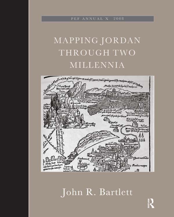
This book shows how travellers and scholars since Roman times have put together their maps of the land east of the River Jordan. It traces the contribution of Roman armies and early Christian pilgrims and medieval European travellers, Crusading armies, learned scholars like Jacob Ziegler, sixteenth-century mapmakers like Mercator and Ortelius, eighteenth-century travellers and savants, and nineteenth-century biblical scholars and explorers like Robinson and Smith, culminating in the late-nineteenth century surveyors working for the Palestine Exploration Fund. This original and valuable book shows, with full illustrations, how maps of the Transjordan region developed through the centuries, and with its detailed tables and bibliography will aid future scholars in further research.The author took part in archaeological excavations and surveys in Jordan, was Associate Professor of Biblical Studies and Fellow at Trinity College Dublin, has published research papers and books on ancient Jordan. John Bartlett was the editor of the Palestine Exploration Quarterly, and until recently was the Chairman of the Palestine Exploration Fund.
Páginas: 175
Categoría: Arkeologi & Antikvetenskap
e-ISBN: 9781351559263
Peso de envío: 1.2 kg
Envío en: 1-2 días
Paga fácilmente con tarjeta, Klarna, Apple Pay o Google Pay. ¿No estás contento? Siempre tienes 14 días de garantía de devolución. Lee más en nuestros términos. Si tienes preguntas, escríbenos a hello@memmo.org.
Memmo hace que estudiar sea más fácil, estés donde estés. Aquí tienes tus libros de texto y herramientas de estudio inteligentes en un solo lugar: resúmenes, quizzes, podcasts y flashcards. Y también a Ted, tu compañero de estudio que responde a todo lo que te preguntes. Más de 50 000 estudiantes ya estudian aquí. Está hecho para que aprendas más rápido y te estreses menos.
También te podría gustar
Comprar el libro0