
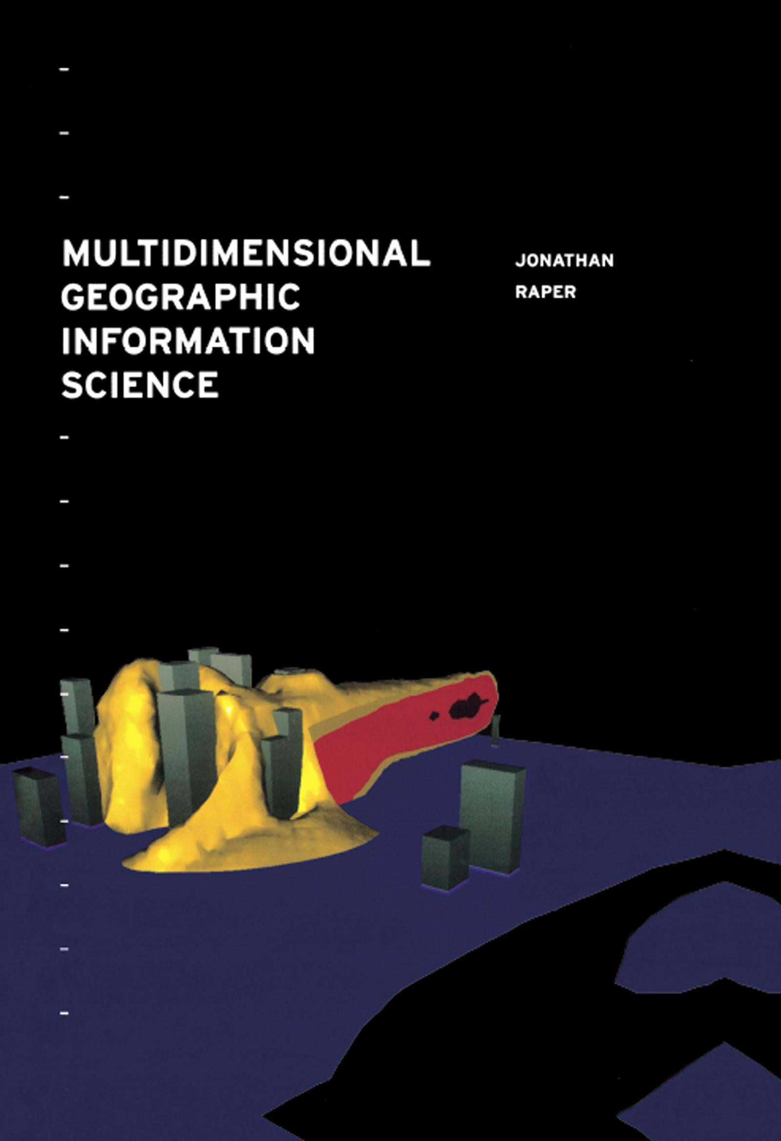
Geographic Information Systems mainly tend to be two dimensional, thus limiting the applications. As GIS are being developed, researchers and practioners are finding new ways of making GIS three dimensional, even four dimensional in some instances, increasing their usability. This book focuses on the way in which GIS could be made `multidimensional' based on the modelling limitations of current 2D GIS. It suggests extending GIS to incorporate the third and fourth dimensions, as well as time (spatio-temporal GIS), using a variety of programming techniques and discusses current examples of multidimensional GIS.
Paga fácilmente con tarjeta, Klarna, Apple Pay o Google Pay. ¿No estás contento? Siempre tienes 14 días de garantía de devolución. Lee más en nuestros términos. Si tienes preguntas, escríbenos a hello@memmo.org.
Memmo hace que estudiar sea más fácil, estés donde estés. Aquí tienes tus libros de texto y herramientas de estudio inteligentes en un solo lugar: resúmenes, quizzes, podcasts y flashcards. Y también a Ted, tu compañero de estudio que responde a todo lo que te preguntes. Más de 50 000 estudiantes ya estudian aquí. Está hecho para que aprendas más rápido y te estreses menos.
También te podría gustar
Comprar el libro0