
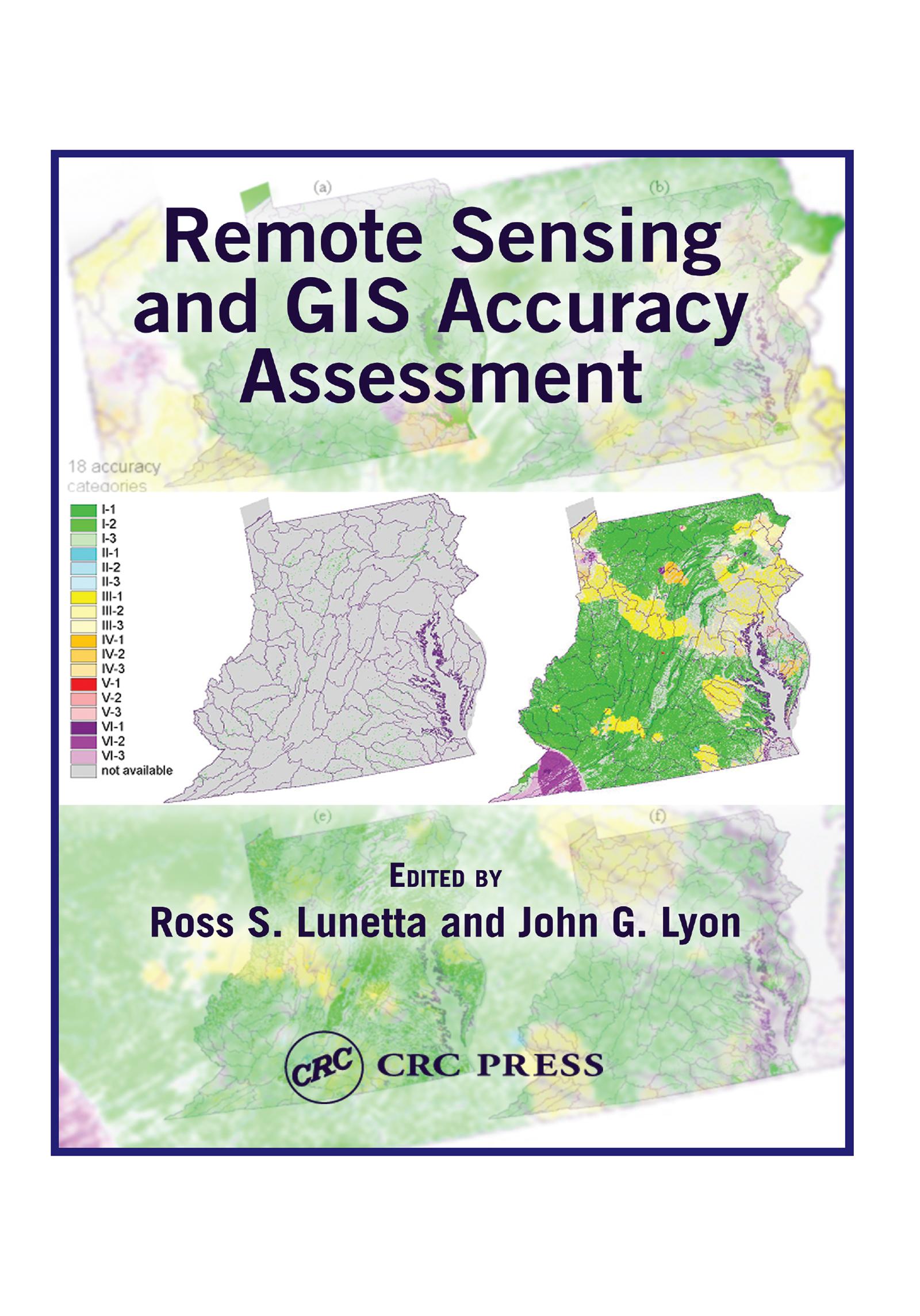
Based upon a special symposium sponsored by the U.S. Environmental Protection Agency (EPA), Remote Sensing and GIS Accuracy Assessment evaluates the important scientific elements related to the performance of accuracy assessments for remotely sensed data, GIS data analysis, and integration products. Scientists from federal, state, and local governments, academia, and nongovernmental organizations present technical papers which examine sampling issues, reference data collection, edge and boundary effects, error matrix and fuzzy assessments, error budget analysis, and change detection accuracy assessment. This compilation contains 20 chapters that represent important symposium outcomes.
Paga fácilmente con tarjeta, Klarna, Apple Pay o Google Pay. ¿No estás contento? Siempre tienes 14 días de garantía de devolución. Lee más en nuestros términos. Si tienes preguntas, escríbenos a hello@memmo.org.
Memmo hace que estudiar sea más fácil, estés donde estés. Aquí tienes tus libros de texto y herramientas de estudio inteligentes en un solo lugar: resúmenes, quizzes, podcasts y flashcards. Y también a Ted, tu compañero de estudio que responde a todo lo que te preguntes. Más de 50 000 estudiantes ya estudian aquí. Está hecho para que aprendas más rápido y te estreses menos.
También te podría gustar
Comprar el libro0