
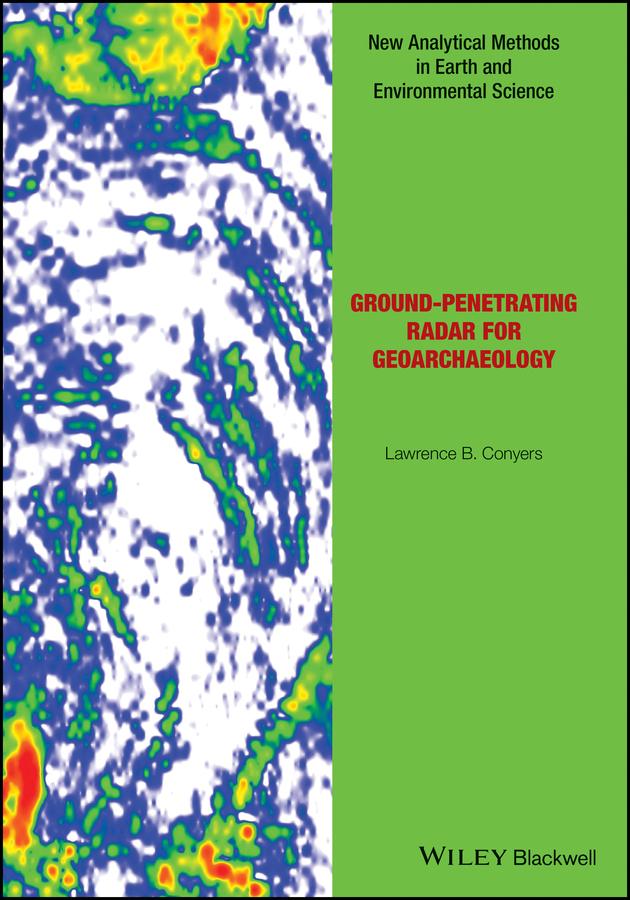
There has long been a strong collaboration between geologists and archaeologists, and the sub-field of geoarchaeology is well developed as a discipline in its own right. This book now bridges the gap between those fields and the geophysical technique of ground-penetrating radar (GPR), which allows for three-dimensional analysis of the ground to visualize both geological and archaeological materials. This method has the ability to produce images of the ground that display complex packages of materials, and allows researchers to integrate sedimentary units, soils and associated archaeological features in ways not possible using standard excavation techniques. The ability of GPR to visualize all these buried units can help archaeologists place ancient people within the landscapes and environments of their time, and understand their burial and preservation phenomena in three-dimensions.
Readership: Advanced students in archaeology and geoarchaeology, as well as practicing archaeologists with an interest in GPS techniques.
Paga fácilmente con tarjeta, Klarna, Apple Pay o Google Pay. ¿No estás contento? Siempre tienes 14 días de garantía de devolución. Lee más en nuestros términos. Si tienes preguntas, escríbenos a hello@memmo.org.
Memmo hace que estudiar sea más fácil, estés donde estés. Aquí tienes tus libros de texto y herramientas de estudio inteligentes en un solo lugar: resúmenes, quizzes, podcasts y flashcards. Y también a Ted, tu compañero de estudio que responde a todo lo que te preguntes. Más de 50 000 estudiantes ya estudian aquí. Está hecho para que aprendas más rápido y te estreses menos.