
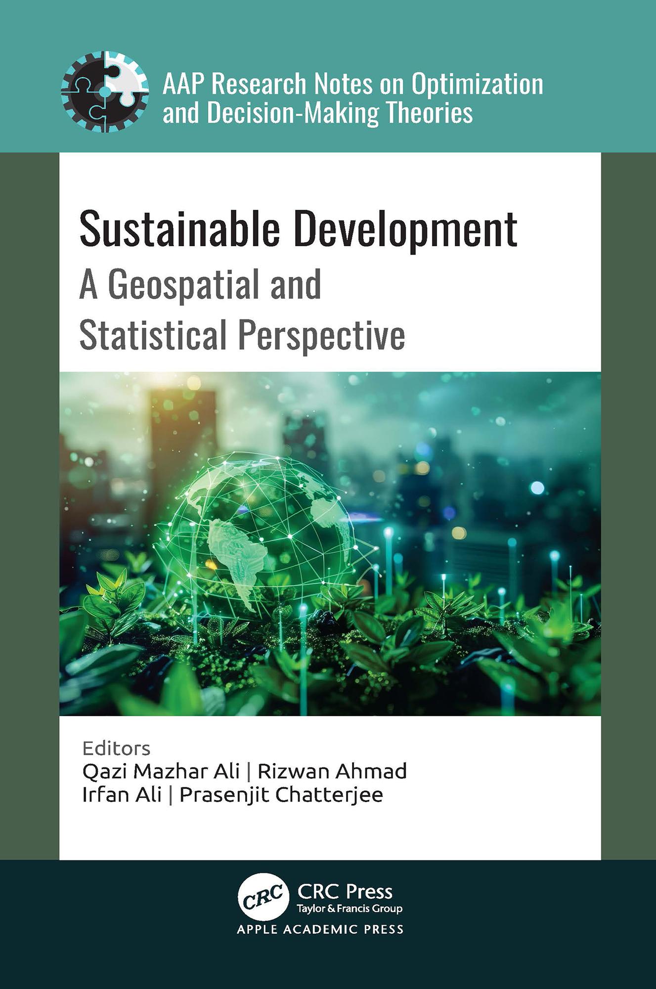
A comprehensive exploration of the intersection between the United Nations’ Sustainable Development Goals (SDGs) and geospatial technology, this new book analyzes how geospatial and statistical information, including satellite imagery, geographic information systems, remote sensing, and statistical tools and data analysis techniques, are effectively employed to assess, monitor, and facilitate sustainable development initiatives.
Paga fácilmente con tarjeta, Klarna, Apple Pay o Google Pay. ¿No estás contento? Siempre tienes 14 días de garantía de devolución. Lee más en nuestros términos. Si tienes preguntas, escríbenos a hello@memmo.org.
Memmo hace que estudiar sea más fácil, estés donde estés. Aquí tienes tus libros de texto y herramientas de estudio inteligentes en un solo lugar: resúmenes, quizzes, podcasts y flashcards. Y también a Ted, tu compañero de estudio que responde a todo lo que te preguntes. Más de 50 000 estudiantes ya estudian aquí. Está hecho para que aprendas más rápido y te estreses menos.