
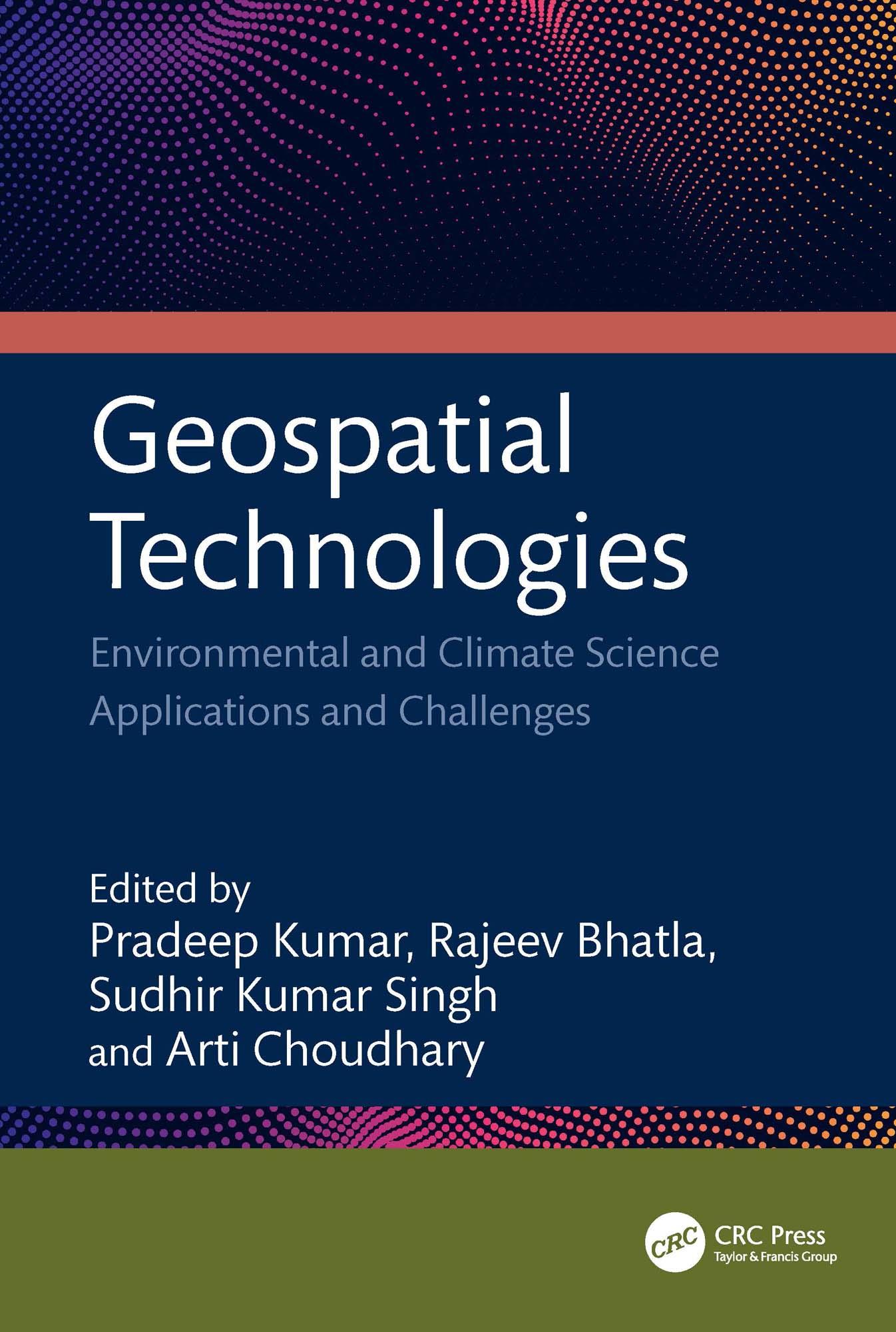
This book focuses on geospatial techniques, climate science, and predicting risk applications and challenges. It bridges the gap between the principles of geographic information science (GIS), remote sensing technology, global positioning system (GPS), and machine learning. It emphasizes the application and significance of remotely sensed data and GIS technologies in different aspects of climate science data. It considers the use of geospatial and AI in resource studies, primarily focusing on water, air, soil, urban, climate, and environmental aspects supported by case studies.
Features:
• Includes geographic technologies application with an emphasis on its modeling of climate change and meteorological elements.
• Merges geospatial technologies and AI methodologies.
• Provides canvas for social impact and community involvement in the application of geospatial technology across several industries.
• Examines heatwaves, cold waves, and dust storm models using satellite data and GIS.
• Case studies highlight the use and applicability of drones with geospatial technology.
This book is aimed at researchers and graduate students in geospatial sciences and environmental engineering.
Paga fácilmente con tarjeta, Klarna, Apple Pay o Google Pay. ¿No estás contento? Siempre tienes 14 días de garantía de devolución. Lee más en nuestros términos. Si tienes preguntas, escríbenos a hello@memmo.org.
Memmo hace que estudiar sea más fácil, estés donde estés. Aquí tienes tus libros de texto y herramientas de estudio inteligentes en un solo lugar: resúmenes, quizzes, podcasts y flashcards. Y también a Ted, tu compañero de estudio que responde a todo lo que te preguntes. Más de 50 000 estudiantes ya estudian aquí. Está hecho para que aprendas más rápido y te estreses menos.