
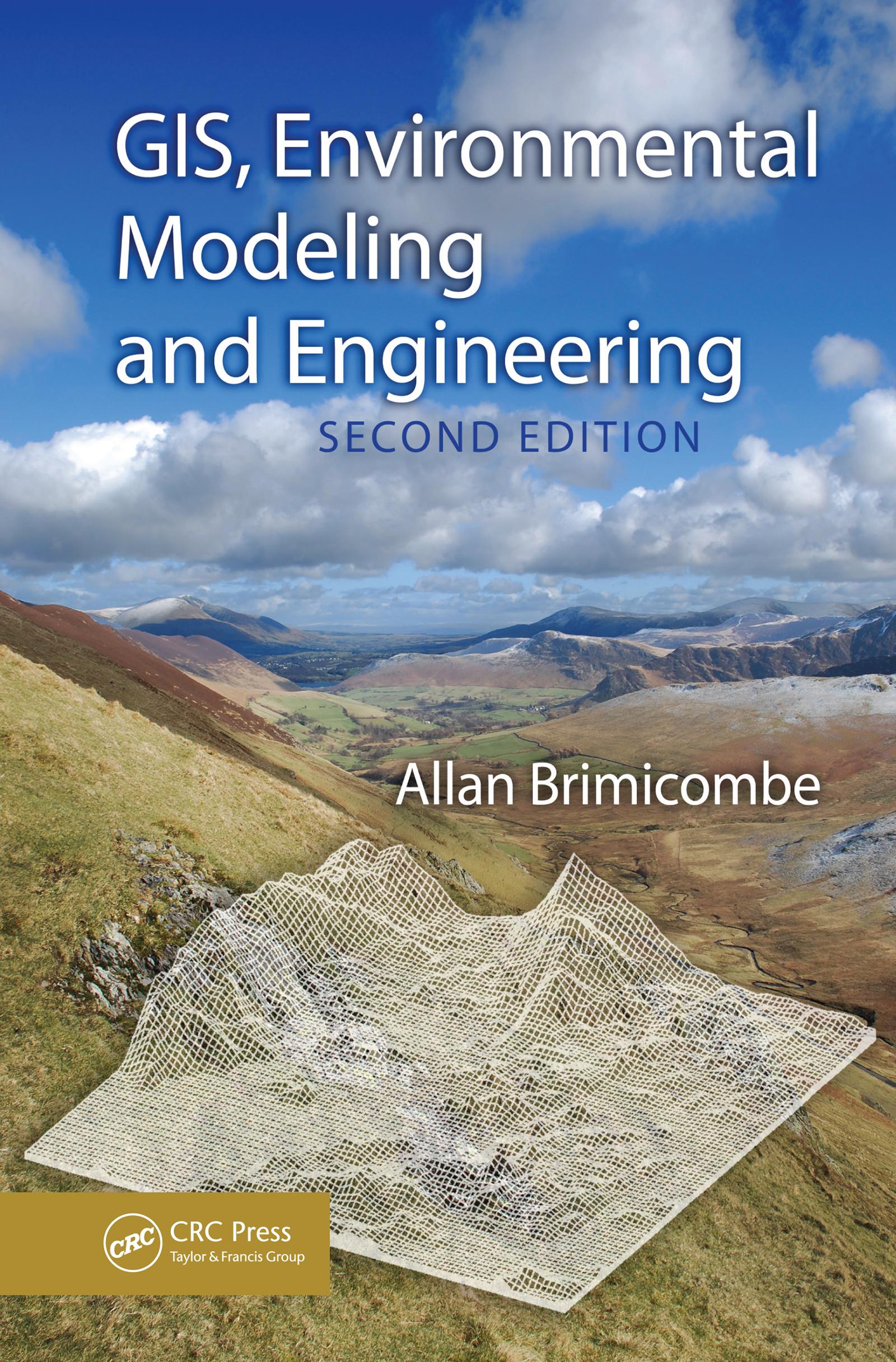
Spatial dimensions need to be properly captured if modeling and engineering techniques are to be successfully applied in addressing environmental problems. The links between the geographical information systems (GIS) that capture this data, simulation modeling, and engineering offer tremendous possibilities for building versatile support systems fo
Paga fácilmente con tarjeta, Klarna, Apple Pay o Google Pay. ¿No estás contento? Siempre tienes 14 días de garantía de devolución. Lee más en nuestros términos. Si tienes preguntas, escríbenos a hello@memmo.org.
Memmo hace que estudiar sea más fácil, estés donde estés. Aquí tienes tus libros de texto y herramientas de estudio inteligentes en un solo lugar: resúmenes, quizzes, podcasts y flashcards. Y también a Ted, tu compañero de estudio que responde a todo lo que te preguntes. Más de 50 000 estudiantes ya estudian aquí. Está hecho para que aprendas más rápido y te estreses menos.
También te podría gustar
Comprar el libro0