
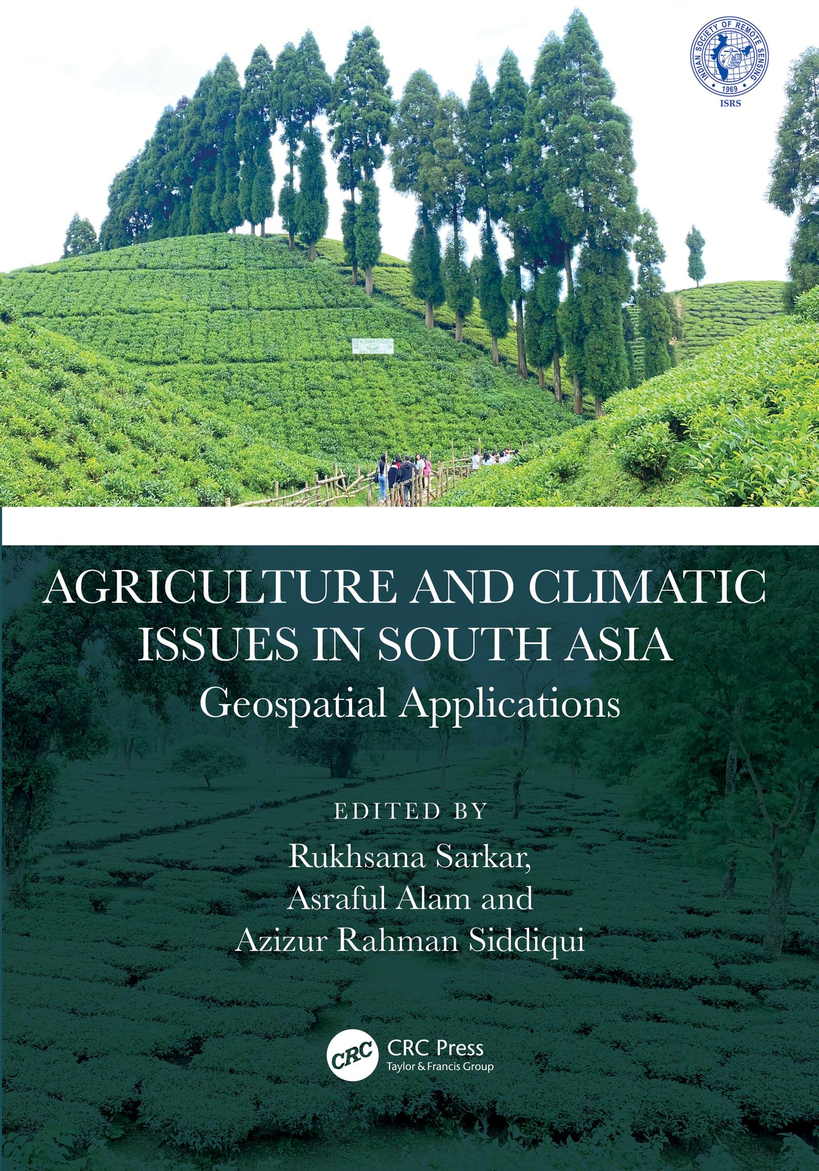
This book presents focussed information related to dynamic cropland transformation, agriculture development, climate change, and environment with the application of advance geospatial technology. It describes research using geospatial tools and techniques to develop the models, design, and planning for agricultural land use optimization especially in south Asian countries. It covers agriculture production, water scarcity, industrial development, natural resources, environmental degradation, and sustainable development.
Features:
- Provides the adaptation strategy from a multidisciplinary resilience perspective
- Addresses contemporary agricultural resilience to various climate change issues
- Develops novel approaches for sustainability with environmentally sound practices
- Discusses methodological and innovative approaches at local to global perspective
- Reports research using geospatial tools and techniques to develop the models, design, and planning for agricultural land use optimization
The book is aimed at researchers, professionals, and graduate students in GIS, environmental engineering, geography, agriculture, and climate studies.
Paga fácilmente con tarjeta, Klarna, Apple Pay o Google Pay. ¿No estás contento? Siempre tienes 14 días de garantía de devolución. Lee más en nuestros términos. Si tienes preguntas, escríbenos a hello@memmo.org.
Memmo hace que estudiar sea más fácil, estés donde estés. Aquí tienes tus libros de texto y herramientas de estudio inteligentes en un solo lugar: resúmenes, quizzes, podcasts y flashcards. Y también a Ted, tu compañero de estudio que responde a todo lo que te preguntes. Más de 50 000 estudiantes ya estudian aquí. Está hecho para que aprendas más rápido y te estreses menos.