
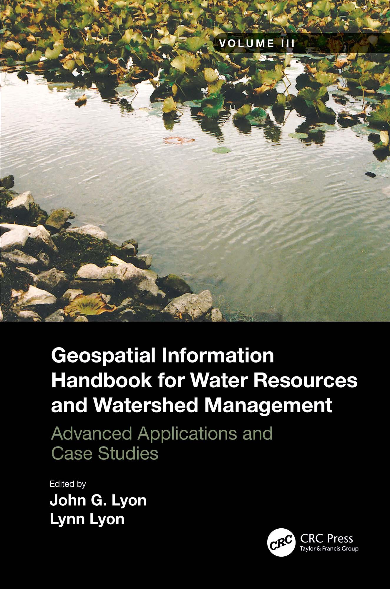
Volume III of Geospatial Information Handbook for Water Resources and Watershed Management discusses water and watershed issues such as water quality, evapotranspiration, water resource management, and ecological services.
Featured is a two-stage ditch and river geomorphology case study section with related water geospatial applications, including historical image analyses of floodplains and channels and resulting change in river geomorphology through erosion and transport and influence on dependent vegetation communities.
- Captures advanced Geospatial Technologies (GT) and their applications to address a wide spectrum of water issues
- Provides real-world two-stage ditch and river geomorphology case studies using river, stream and channel measures and change models, and bankfull discharge modeling
- Global in coverage with applications demonstrated by more than 170 experts in water sciences and two-stage ditch and river geomorphology
This handbook is a wide-ranging and contemporary reference of advanced geospatial techniques used in numerous practical applications at the local and regional scale and is an in-depth resource for professionals and the water research community worldwide.
Paga fácilmente con tarjeta, Klarna, Apple Pay o Google Pay. ¿No estás contento? Siempre tienes 14 días de garantía de devolución. Lee más en nuestros términos. Si tienes preguntas, escríbenos a hello@memmo.org.
Memmo hace que estudiar sea más fácil, estés donde estés. Aquí tienes tus libros de texto y herramientas de estudio inteligentes en un solo lugar: resúmenes, quizzes, podcasts y flashcards. Y también a Ted, tu compañero de estudio que responde a todo lo que te preguntes. Más de 50 000 estudiantes ya estudian aquí. Está hecho para que aprendas más rápido y te estreses menos.