
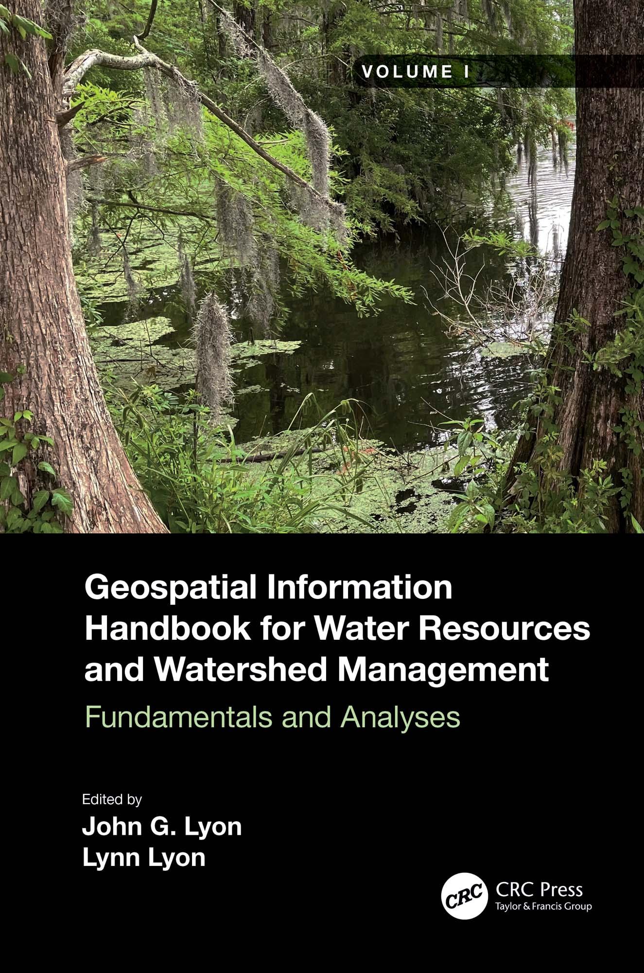
Volume I of Geospatial Information Handbook for Water Resources and Watershed Management discusses fundamental characteristics, measurements, and analyses of water features and watersheds including lakes and reservoirs, rivers and streams, and coasts and estuaries. It presents contemporary knowledge on Geospatial Technology (GT)–supported functional analyses of water runoff, storage and balance, flooding and floodplains, water quality, soils and moisture, climate vulnerabilities, and ecosystem services.
- Captures advanced Geospatial Technologies (GTs) addressing a wide range of water issues
- Provides real-world applications and case studies using advanced spectral and spatial sensors combined with geospatially facilitated water process models
- Details applications of ArcInfo/ArcGIS, Google Earth Engine, and other systems using advanced remote sensors, including hyperspectral ER2 AVIRIS, Sentinel-1 and -2, MODIS, Landsat 7 ETM+, Landsat 8 OLI and TIPS, SAR radar, and thermal imaging
- Global in coverage with applications contributed by more than 170 authors with lifelong expertise in water sciences and engineering
This handbook is a wide-ranging and contemporary reference of advanced geospatial techniques used in numerous practical applications at the local and regional scales and is an in-depth resource for professionals and the water research community worldwide.
Paga fácilmente con tarjeta, Klarna, Apple Pay o Google Pay. ¿No estás contento? Siempre tienes 14 días de garantía de devolución. Lee más en nuestros términos. Si tienes preguntas, escríbenos a hello@memmo.org.
Memmo hace que estudiar sea más fácil, estés donde estés. Aquí tienes tus libros de texto y herramientas de estudio inteligentes en un solo lugar: resúmenes, quizzes, podcasts y flashcards. Y también a Ted, tu compañero de estudio que responde a todo lo que te preguntes. Más de 50 000 estudiantes ya estudian aquí. Está hecho para que aprendas más rápido y te estreses menos.