
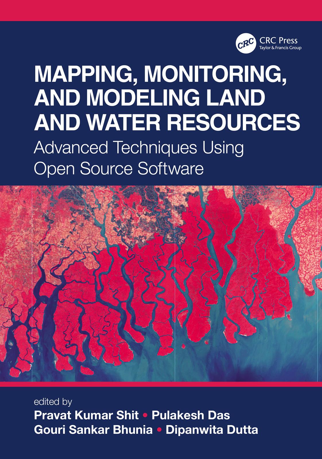
The wide range of challenges in studying Earth system dynamics due to uncertainties in climate change and complex interference from human activities is creating difficulties in managing land and water resources and ensuring their sustainable use. Mapping, Monitoring, and Modeling Land and Water Resources brings together real-world case studies accurately surveyed and assessed through spatial modeling. The book focuses on the effectiveness of combining remote sensing, geographic information systems, and R. The use of open source software for different spatial modeling cases in various fields, along with the use of remote sensing and geographic information systems, will aid researchers, students, and practitioners to understand better the phenomena and the predictions by future analyses for problem-solving and decision-making.
Paga fácilmente con tarjeta, Klarna, Apple Pay o Google Pay. ¿No estás contento? Siempre tienes 14 días de garantía de devolución. Lee más en nuestros términos. Si tienes preguntas, escríbenos a hello@memmo.org.
Memmo hace que estudiar sea más fácil, estés donde estés. Aquí tienes tus libros de texto y herramientas de estudio inteligentes en un solo lugar: resúmenes, quizzes, podcasts y flashcards. Y también a Ted, tu compañero de estudio que responde a todo lo que te preguntes. Más de 50 000 estudiantes ya estudian aquí. Está hecho para que aprendas más rápido y te estreses menos.