
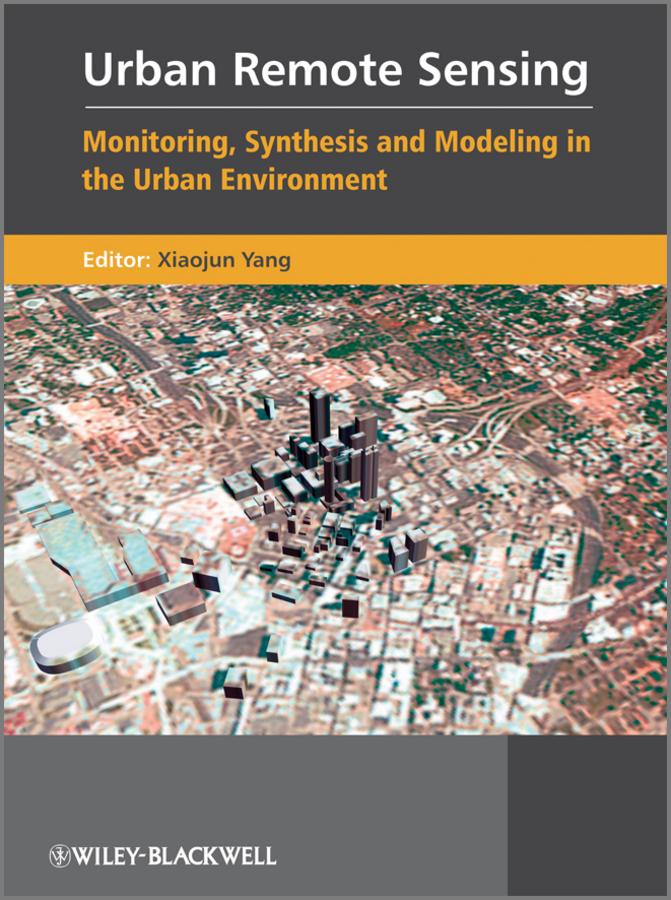
Urban Remote Sensing is designed for upper level undergraduates, graduates, researchers and practitioners, and has a clear focus on the development of remote sensing technology for monitoring, synthesis and modeling in the urban environment. It covers four major areas: the use of high-resolution satellite imagery or alternative sources of image date (such as high-resolution SAR and LIDAR) for urban feature extraction; the development of improved image processing algorithms and techniques for deriving accurate and consistent information on urban attributes from remote sensor data; the development of analytical techniques and methods for deriving indicators of socioeconomic and environmental conditions that prevail within urban landscape; and the development of remote sensing and spatial analytical techniques for urban growth simulation and predictive modeling.
Paga fácilmente con tarjeta, Klarna, Apple Pay o Google Pay. ¿No estás contento? Siempre tienes 14 días de garantía de devolución. Lee más en nuestros términos. Si tienes preguntas, escríbenos a hello@memmo.org.
Memmo hace que estudiar sea más fácil, estés donde estés. Aquí tienes tus libros de texto y herramientas de estudio inteligentes en un solo lugar: resúmenes, quizzes, podcasts y flashcards. Y también a Ted, tu compañero de estudio que responde a todo lo que te preguntes. Más de 50 000 estudiantes ya estudian aquí. Está hecho para que aprendas más rápido y te estreses menos.