
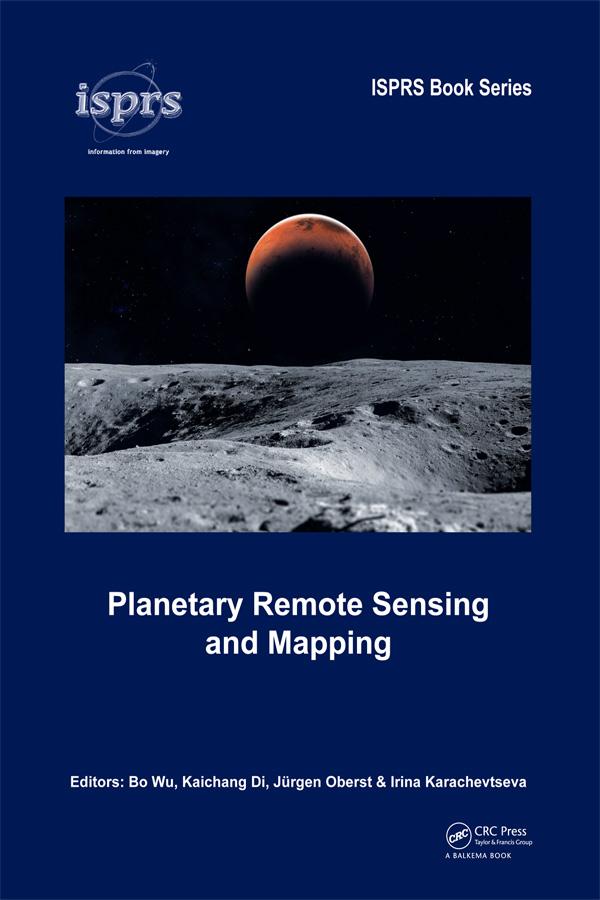
The early 21st century marks a new era in space exploration. The National Aeronautics and Space Administration (NASA) of the United States, The European Space Agency (ESA), as well as space agencies of Japan, China, India, and other countries have sent their probes to the Moon, Mars, and other planets in the solar system. Planetary Remote Sensing and Mapping introduces original research and new developments in the areas of planetary remote sensing, photogrammetry, mapping, GIS, and planetary science resulting from the recent space exploration missions.
Topics covered include:
- Reference systems of planetary bodies
- Planetary exploration missions and sensors
- Geometric information extraction from planetary remote sensing data
- Feature information extraction from planetary remote sensing data
- Planetary remote sensing data fusion
- Planetary data management and presentation
Planetary Remote Sensing and Mapping will serve scientists and professionals working in the planetary remote sensing and mapping areas, as well as planetary probe designers, engineers, and planetary geologists and geophysicists. It also provides useful reading material for university teachers and students in the broader areas of remote sensing, photogrammetry, cartography, GIS, and geodesy.
Paga fácilmente con tarjeta, Klarna, Apple Pay o Google Pay. ¿No estás contento? Siempre tienes 14 días de garantía de devolución. Lee más en nuestros términos. Si tienes preguntas, escríbenos a hello@memmo.org.
Memmo hace que estudiar sea más fácil, estés donde estés. Aquí tienes tus libros de texto y herramientas de estudio inteligentes en un solo lugar: resúmenes, quizzes, podcasts y flashcards. Y también a Ted, tu compañero de estudio que responde a todo lo que te preguntes. Más de 50 000 estudiantes ya estudian aquí. Está hecho para que aprendas más rápido y te estreses menos.