
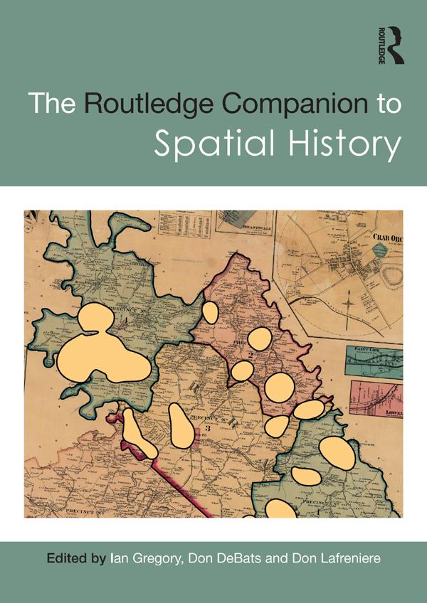
The Routledge Companion to Spatial History explores the full range of ways in which GIS can be used to study the past, considering key questions such as what types of new knowledge can be developed solely as a consequence of using GIS and how effective GIS can be for different types of research.
Global in scope and covering a broad range of subjects, the chapters in this volume discuss ways of turning sources into a GIS database, methods of analysing these databases, methods of visualising the results of the analyses, and approaches to interpreting analyses and visualisations. Chapter authors draw from a diverse collection of case studies from around the world, covering topics from state power in imperial China to the urban property market in nineteenth-century Rio de Janeiro, health and society in twentieth-century Britain and the demographic impact of the Second Battle of Ypres in 1915.
Critically evaluating both the strengths and limitations of GIS and illustrated with over two hundred maps and figures, this volume is an essential resource for all students and scholars interested in the use of GIS and spatial analysis as a method of historical research.
Zahle einfach mit Karte, Klarna, Apple Pay oder Google Pay. Nicht zufrieden? Du hast immer ein 14-tägiges Widerrufsrecht. Lies mehr in unseren AGB. Hast du Fragen, schreib uns eine E-Mail an hello@memmo.org.
Memmo macht das Lernen einfacher – wo auch immer du bist. Bei uns findest du deine Kursbücher und smarte Lerntools an einem Ort: Zusammenfassungen, Quizzes, Podcasts und Lernkarten. Und Ted, dein Lernbuddy, beantwortet alles, was du wissen möchtest. Über 50.000 Studierende lernen bereits hier – gemacht, damit du schneller lernst und weniger Stress hast.