
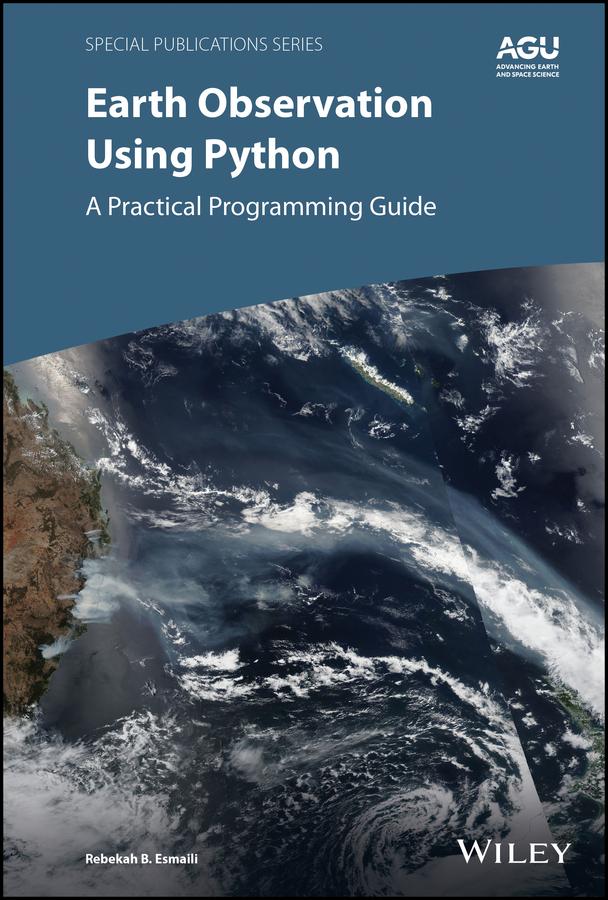
Learn basic Python programming to create functional and effective visualizations from earth observation satellite data sets
Thousands of satellite datasets are freely available online, but scientists need the right tools to efficiently analyze data and share results. Python has easy-to-learn syntax and thousands of libraries to perform common Earth science programming tasks.
Earth Observation Using Python: A Practical Programming Guide presents an example-driven collection of basic methods, applications, and visualizations to process satellite data sets for Earth science research.
- Gain Python fluency using real data and case studies
- Read and write common scientific data formats, like netCDF, HDF, and GRIB2
- Create 3-dimensional maps of dust, fire, vegetation indices and more
- Learn to adjust satellite imagery resolution, apply quality control, and handle big files
- Develop useful workflows and learn to share code using version control
- Acquire skills using online interactive code available for all examples in the book
The American Geophysical Union promotes discovery in Earth and space science for the benefit of humanity. Its publications disseminate scientific knowledge and provide resources for researchers, students, and professionals.
Find out more about this book from this Q&A with the Author
Zahle einfach mit Karte, Klarna, Apple Pay oder Google Pay. Nicht zufrieden? Du hast immer ein 14-tägiges Widerrufsrecht. Lies mehr in unseren AGB. Hast du Fragen, schreib uns eine E-Mail an hello@memmo.org.
Memmo macht das Lernen einfacher – wo auch immer du bist. Bei uns findest du deine Kursbücher und smarte Lerntools an einem Ort: Zusammenfassungen, Quizzes, Podcasts und Lernkarten. Und Ted, dein Lernbuddy, beantwortet alles, was du wissen möchtest. Über 50.000 Studierende lernen bereits hier – gemacht, damit du schneller lernst und weniger Stress hast.