
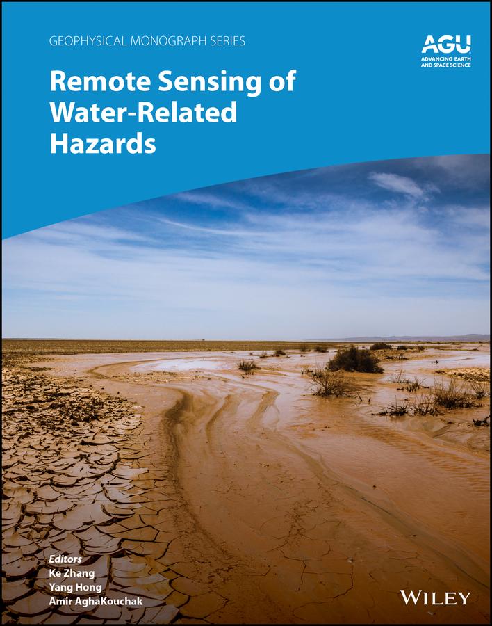
Applications of remote sensing technology for monitoring and predicting water-related hazards
Water-related hazards such as floods and droughts have serious impacts on society. Their incidence has increased in recent decades, a trend set to continue with ongoing climate change. Adaptation and mitigation measures require accurate detection, monitoring, and forecasting, much of which comes from remote sensing technologies.
Remote Sensing of Water-Related Hazards takes an interdisciplinary approach, presenting recent advances in the available data, sensors, models, and indicators developed for monitoring and prediction.
Volume highlights include:
- Progress in remote sensing of precipitation, storms, and tornados
- Different techniques for flood mapping, forecasting, and early warning
- Integrated approach for predicting flood and landslide cascading hazards
- Satellite monitoring of water cycle variation, water scarcity, and drought conditions
- Multi-indicator and multi-sensor approaches for quantifying drought impacts
The American Geophysical Union promotes discovery in Earth and space science for the benefit of humanity. Its publications disseminate scientific knowledge and provide resources for researchers, students, and professionals.
Zahle einfach mit Karte, Klarna, Apple Pay oder Google Pay. Nicht zufrieden? Du hast immer ein 14-tägiges Widerrufsrecht. Lies mehr in unseren AGB. Hast du Fragen, schreib uns eine E-Mail an hello@memmo.org.
Memmo macht das Lernen einfacher – wo auch immer du bist. Bei uns findest du deine Kursbücher und smarte Lerntools an einem Ort: Zusammenfassungen, Quizzes, Podcasts und Lernkarten. Und Ted, dein Lernbuddy, beantwortet alles, was du wissen möchtest. Über 50.000 Studierende lernen bereits hier – gemacht, damit du schneller lernst und weniger Stress hast.