
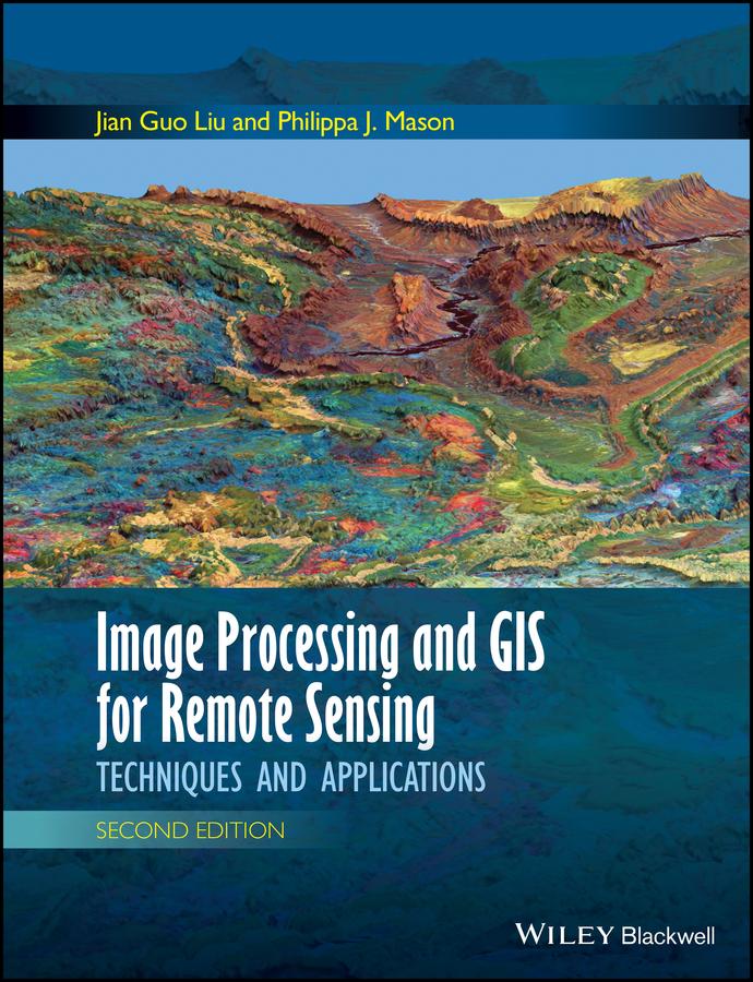
Following the successful publication of the 1st edition in 2009, the 2nd edition maintains its aim to provide an application-driven package of essential techniques in image processing and GIS, together with case studies for demonstration and guidance in remote sensing applications. The book therefore has a “3 in 1” structure which pinpoints the intersection between these three individual disciplines and successfully draws them together in a balanced and comprehensive manner.
The book conveys in-depth knowledge of image processing and GIS techniques in an accessible and comprehensive manner, with clear explanations and conceptual illustrations used throughout to enhance student learning. The understanding of key concepts is always emphasised with minimal assumption of prior mathematical experience.
The book is heavily based on the authors’ own research. Many of the author-designed image processing techniques are popular around the world. For instance, the SFIM technique has long been adopted by ASTRIUM for mass-production of their standard “Pan-sharpen” imagery data. The new edition also includes a completely new chapter on subpixel technology and new case studies, based on their recent research.
Zahle einfach mit Karte, Klarna, Apple Pay oder Google Pay. Nicht zufrieden? Du hast immer ein 14-tägiges Widerrufsrecht. Lies mehr in unseren AGB. Hast du Fragen, schreib uns eine E-Mail an hello@memmo.org.
Memmo macht das Lernen einfacher – wo auch immer du bist. Bei uns findest du deine Kursbücher und smarte Lerntools an einem Ort: Zusammenfassungen, Quizzes, Podcasts und Lernkarten. Und Ted, dein Lernbuddy, beantwortet alles, was du wissen möchtest. Über 50.000 Studierende lernen bereits hier – gemacht, damit du schneller lernst und weniger Stress hast.