
“GeoAI—the integration of spatial analysis, AI, and big data—is creating new insights that promise to transform our understanding of the world.”
Jack Dangermond, president of Esri
Discover how organizations are powering greater automation, prediction, and optimization with GeoAI.
Organizations across the globe have long relied on geographic information system (GIS) technology to manage and analyze data through the powerful lens of location, helping them tackle some of the toughest business and societal challenges. The emergence of AI-enhanced GIS has opened new opportunities to these groups to automate complex spatial analyses and harness the full breadth of spatial analysis. This democratization of GIS can help everyone make better decisions faster, from city planners and policymakers to businesses, research groups, and constituents.
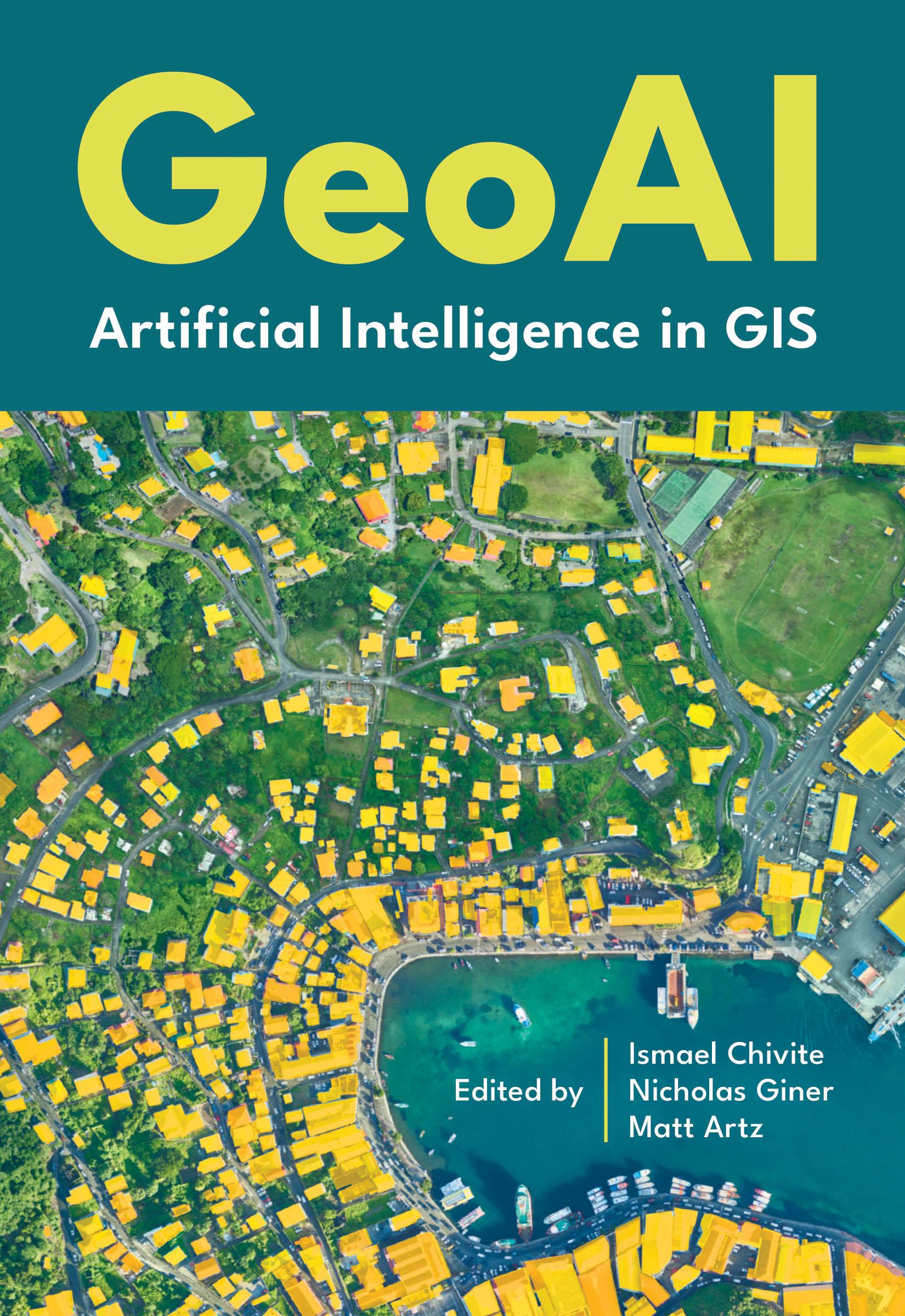
GeoAI: Artificial Intelligence in GIS explores a collection of real-life stories about public- and private-sector organizations as well as NGOs and nonprofits successfully using GeoAI and ArcGIS® to manage processes, workflows, policies, and communication. The book also includes a technology overview that provides ideas, strategies, tools, and actions to help jump-start your own use of GeoAI.
Płać wygodnie kartą, Klarną, Apple Pay lub Google Pay. Nie jesteś zadowolony? Zawsze masz 14-dniową gwarancję zwrotu pieniędzy. Więcej przeczytasz w naszych warunkach. Masz pytania? Napisz do nas na hello@memmo.org.
Memmo ułatwia naukę – gdziekolwiek jesteś na świecie. U nas znajdziesz podręczniki i sprytne narzędzia do nauki w jednym miejscu: streszczenia, quizy, podcasty i fiszki. A do tego Ted, Twój kumpel do nauki, który odpowie na wszystko, co Cię nurtuje. Ponad 50 000 studentów już tu się uczy – stworzone, byś uczył się szybciej i mniej stresował.