
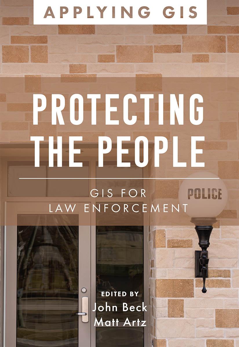
Discover the geographic approach to fighting crime while engaging citizens.
Protecting the People: GIS for Law Enforcement explores a collection of real-life stories about law enforcement agencies successfully using GIS for crime analysis, open policing, and field mobility. Through these stories, this book illustrates how police departments and law enforcement organizations use GIS to enable data-driven crime-analysis strategies and drive decision making in everyday operations.
The case studies in this book cover:
- Understanding data and crime analysis
- Streamlining improvements to police operations
- Developing methods for engaging citizens
The book also includes a section on next steps that provides ideas, strategies, tools, and actions to help jump-start your own use of GIS for law enforcement. A collection of online resources, including additional stories, videos, new ideas and concepts, and downloadable tools and content, complements this book.
Learn how location intelligence and the geographic approach can improve crime analysis, streamline operations, and promote community policing initiatives.
Płać wygodnie kartą, Klarną, Apple Pay lub Google Pay. Nie jesteś zadowolony? Zawsze masz 14-dniową gwarancję zwrotu pieniędzy. Więcej przeczytasz w naszych warunkach. Masz pytania? Napisz do nas na hello@memmo.org.
Memmo ułatwia naukę – gdziekolwiek jesteś na świecie. U nas znajdziesz podręczniki i sprytne narzędzia do nauki w jednym miejscu: streszczenia, quizy, podcasty i fiszki. A do tego Ted, Twój kumpel do nauki, który odpowie na wszystko, co Cię nurtuje. Ponad 50 000 studentów już tu się uczy – stworzone, byś uczył się szybciej i mniej stresował.