
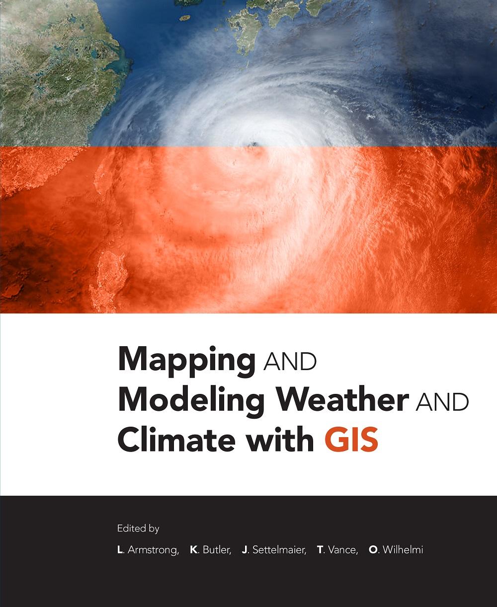
Mapping and Modeling Weather and Climate with GIS is a contributed volume of 23 chapters from leading climatologists, meteorologists, and other experts about how geospatial cartography and analysis helps to advance atmospheric science research. Coverage includes data and software resources, data representation, observations, modeling, data-model integration, web services, and the areas of current and potential cross-fertilization of atmospheric and geospatial sciences. Providing both the concepts and practices of mapping and modeling projects, the book is useful to novices using GIS on weather and climate projects. Practitioners and managers will gain a clear picture of the advances in GIS for atmospheric sciences and appreciate the helpful lists of available geospatial resources.
Kategoria: Miljövetenskap & Klimat
e-ISBN: 9781589484054
Waga przesyłki: 1.2 kg
Wysyłka w ciągu: 1-2 dni
Płać wygodnie kartą, Klarną, Apple Pay lub Google Pay. Nie jesteś zadowolony? Zawsze masz 14-dniową gwarancję zwrotu pieniędzy. Więcej przeczytasz w naszych warunkach. Masz pytania? Napisz do nas na hello@memmo.org.
Memmo ułatwia naukę – gdziekolwiek jesteś na świecie. U nas znajdziesz podręczniki i sprytne narzędzia do nauki w jednym miejscu: streszczenia, quizy, podcasty i fiszki. A do tego Ted, Twój kumpel do nauki, który odpowie na wszystko, co Cię nurtuje. Ponad 50 000 studentów już tu się uczy – stworzone, byś uczył się szybciej i mniej stresował.
Może Ci się spodobać
Kup książkę0