
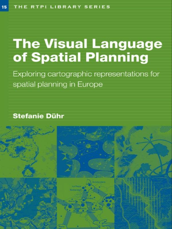
At a time when strategic spatial planning is undergoing a renaissance in Europe, The Visual Language of Spatial Planning makes a unique contribution to this rapidly growing area of teaching and research. Discussing the relevant theoretical perspectives on policy-making and planning, combined with cartographic communication and the use of cartographic representations in the planning process, Stephanie Duhr provides conceptual and practical tools to help students and practitioners better understand maps and visualizations in strategic spatial planning.
The book is the first to review the form, style and use of cartographic representations in strategic spacial plans in the Netherlands, Germany and England as well as at European level. Significant differences between planning traditions and the impact of these on transnational planning processes are highlighted. It concludes by discussing the practical implications for future strategic spacial planning processes in Europe and the best use of cartographic representations to reach agreement and to focus dialogue.
Płać wygodnie kartą, Klarną, Apple Pay lub Google Pay. Nie jesteś zadowolony? Zawsze masz 14-dniową gwarancję zwrotu pieniędzy. Więcej przeczytasz w naszych warunkach. Masz pytania? Napisz do nas na hello@memmo.org.
Memmo ułatwia naukę – gdziekolwiek jesteś na świecie. U nas znajdziesz podręczniki i sprytne narzędzia do nauki w jednym miejscu: streszczenia, quizy, podcasty i fiszki. A do tego Ted, Twój kumpel do nauki, który odpowie na wszystko, co Cię nurtuje. Ponad 50 000 studentów już tu się uczy – stworzone, byś uczył się szybciej i mniej stresował.