
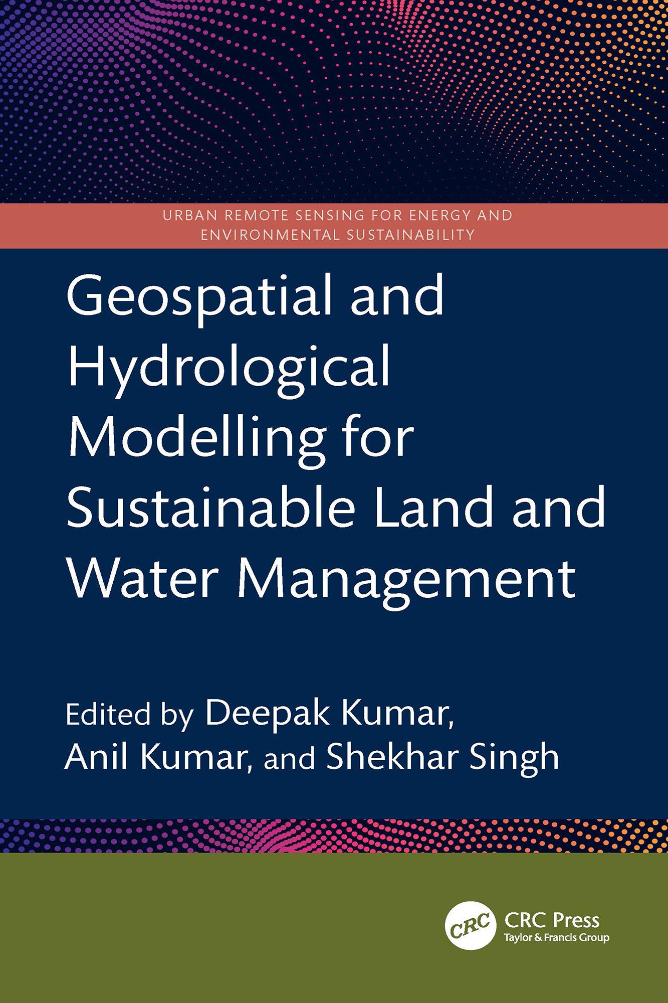
This book presents a holistic scientific approach to addressing current and future challenges in the sustainable management of land and water resources, supported by geospatial and hydrological modelling. It explores remote sensing integrated with hydrological modelling for watershed management, land and water resource planning, soil erosion and sediment transport studies using satellite data, and climate change impact assessments on land and water systems all illustrated through case studies.
- Focuses on both geospatial and hydrological modelling for effective land and water resource management
- Covers topics including Google Earth Engine, forest land management, coastal land issues, geo-hydrology, and salinity problems
- Discusses Intergovernmental Panel on Climate Change (IPCC) guidelines for water resource management
- Incorporates big data and machine learning applications in water resource management
- Reviews digital image processing techniques applied to satellite data
This book is intended for researchers and professionals in hydrological engineering, geospatial technologies, and environmental engineering.
Płać wygodnie kartą, Klarną, Apple Pay lub Google Pay. Nie jesteś zadowolony? Zawsze masz 14-dniową gwarancję zwrotu pieniędzy. Więcej przeczytasz w naszych warunkach. Masz pytania? Napisz do nas na hello@memmo.org.
Memmo ułatwia naukę – gdziekolwiek jesteś na świecie. U nas znajdziesz podręczniki i sprytne narzędzia do nauki w jednym miejscu: streszczenia, quizy, podcasty i fiszki. A do tego Ted, Twój kumpel do nauki, który odpowie na wszystko, co Cię nurtuje. Ponad 50 000 studentów już tu się uczy – stworzone, byś uczył się szybciej i mniej stresował.