
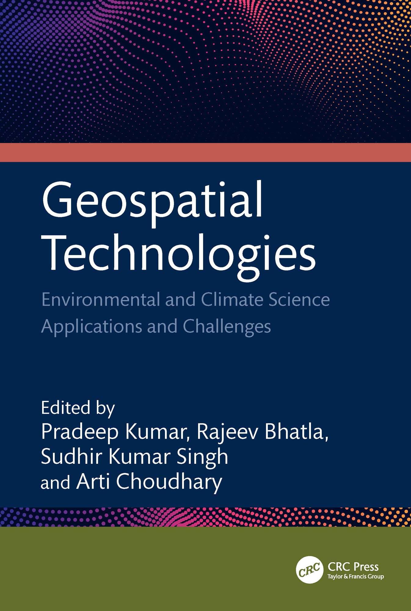
This book focuses on geospatial techniques, climate science, and predicting risk applications and challenges. It bridges the gap between the principles of geographic information science (GIS), remote sensing technology, global positioning system (GPS), and machine learning. It emphasizes the application and significance of remotely sensed data and GIS technologies in different aspects of climate science data. It considers the use of geospatial and AI in resource studies, primarily focusing on water, air, soil, urban, climate, and environmental aspects supported by case studies.
Features:
• Includes geographic technologies application with an emphasis on its modeling of climate change and meteorological elements.
• Merges geospatial technologies and AI methodologies.
• Provides canvas for social impact and community involvement in the application of geospatial technology across several industries.
• Examines heatwaves, cold waves, and dust storm models using satellite data and GIS.
• Case studies highlight the use and applicability of drones with geospatial technology.
This book is aimed at researchers and graduate students in geospatial sciences and environmental engineering.
Płać wygodnie kartą, Klarną, Apple Pay lub Google Pay. Nie jesteś zadowolony? Zawsze masz 14-dniową gwarancję zwrotu pieniędzy. Więcej przeczytasz w naszych warunkach. Masz pytania? Napisz do nas na hello@memmo.org.
Memmo ułatwia naukę – gdziekolwiek jesteś na świecie. U nas znajdziesz podręczniki i sprytne narzędzia do nauki w jednym miejscu: streszczenia, quizy, podcasty i fiszki. A do tego Ted, Twój kumpel do nauki, który odpowie na wszystko, co Cię nurtuje. Ponad 50 000 studentów już tu się uczy – stworzone, byś uczył się szybciej i mniej stresował.