
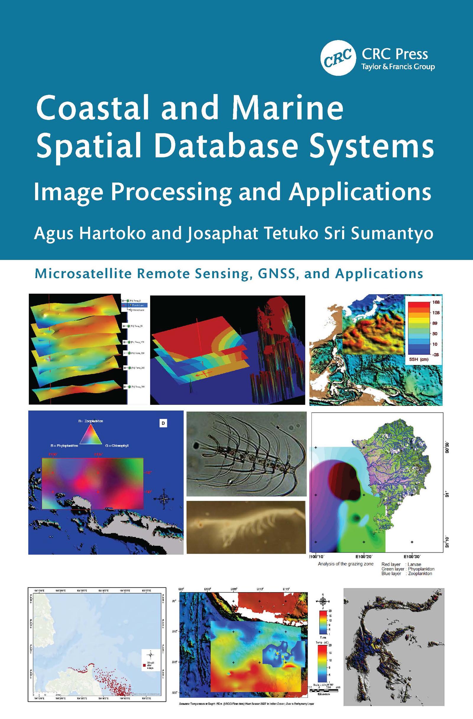
This book is focused on a specialized but important subject of coastal and marine ecosystem management based on remote sensing imageries, such as Synthetic Aperture Radar (SAR) from Sentinel-1, MultiSpectral Instrument (MSI) from Sentinel-2A and Landsat, bathymetry form GEBCO, sea surface temperature (SST) from CMEMS. It includes practical case studies with thematic datasets and clear step-by-step instructions for data processing. Key resources for advanced knowledge on coastal and marine ecosystem conservation, zonation, planning, and management based on satellite imaging data are also presented.
Features
- Provides innovative methods and advanced analytical approaches for processing satellite and radar data tailored to specific applications
- Includes case studies of best practices in marine studies and coastal disaster management from Indonesia, Japan, Malaysia, Vietnam, and China
- Explains how to build a new thematic spatial database system and how to develop an individual new thematic algorithm
- Showcases thematic spatial database systems that serve as the foundation for local and national regulatory frameworks and support international solutions to environmental challenges
- Describes limitations and future possibilities for additional studies
This is a vital resource for professionals, researchers, and students using remote sensing applications in various fields, especially in marine sciences and oceanography.
Płać wygodnie kartą, Klarną, Apple Pay lub Google Pay. Nie jesteś zadowolony? Zawsze masz 14-dniową gwarancję zwrotu pieniędzy. Więcej przeczytasz w naszych warunkach. Masz pytania? Napisz do nas na hello@memmo.org.
Memmo ułatwia naukę – gdziekolwiek jesteś na świecie. U nas znajdziesz podręczniki i sprytne narzędzia do nauki w jednym miejscu: streszczenia, quizy, podcasty i fiszki. A do tego Ted, Twój kumpel do nauki, który odpowie na wszystko, co Cię nurtuje. Ponad 50 000 studentów już tu się uczy – stworzone, byś uczył się szybciej i mniej stresował.