
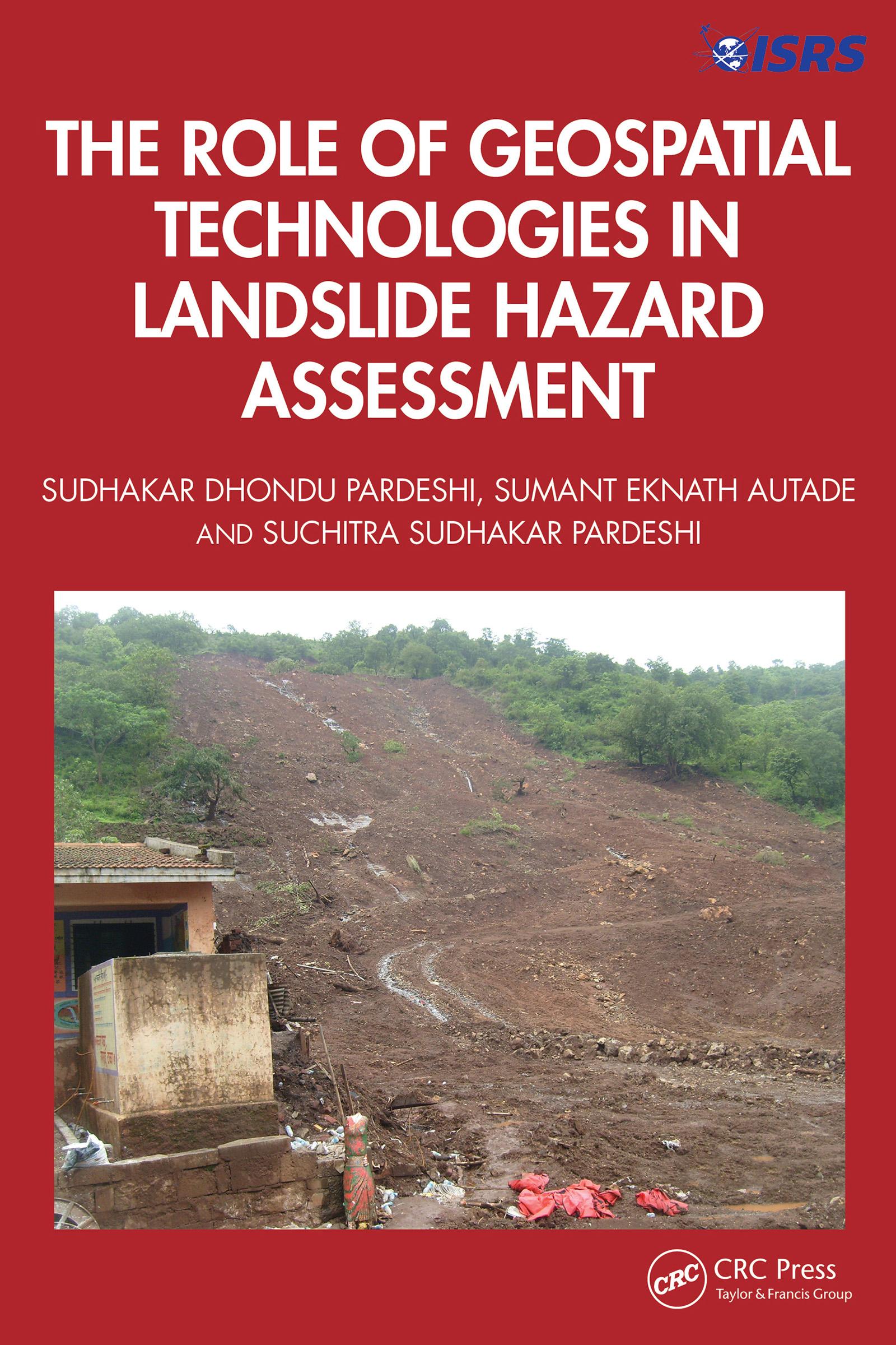
This book is designed to provide a detailed, methodological framework for landslide hazard assessment. The focus is on various dimensions of landslide hazard assessment, including the terminologies used in landslide hazard analysis and landslide inventory systems used globally and their relevance in generating a complete and reliable landslide database for further analysis, supported by global case studies. It includes an overview of the methodological developments in landslide hazard assessment and role of geospatial technologies in landslide studies.
Features:
- Helps readers to understand the technical details of geospatial techniques applied in hazard management.
- Deals with the practicalities of how to recognise and classify unstable terrain.
- Covers recent advances in landslide estimation, particularly the automated means of landslide susceptibility estimation.
- Explores methodological frameworks of landslide hazard assessment.
- Illustrates case studies from the United States, Europe, and Asia, including demonstrations of different methodologies of landslide susceptibility zonation.
This book is aimed at researchers, graduate students, and libraries in geotechnical and environmental engineering.
Płać wygodnie kartą, Klarną, Apple Pay lub Google Pay. Nie jesteś zadowolony? Zawsze masz 14-dniową gwarancję zwrotu pieniędzy. Więcej przeczytasz w naszych warunkach. Masz pytania? Napisz do nas na hello@memmo.org.
Memmo ułatwia naukę – gdziekolwiek jesteś na świecie. U nas znajdziesz podręczniki i sprytne narzędzia do nauki w jednym miejscu: streszczenia, quizy, podcasty i fiszki. A do tego Ted, Twój kumpel do nauki, który odpowie na wszystko, co Cię nurtuje. Ponad 50 000 studentów już tu się uczy – stworzone, byś uczył się szybciej i mniej stresował.