
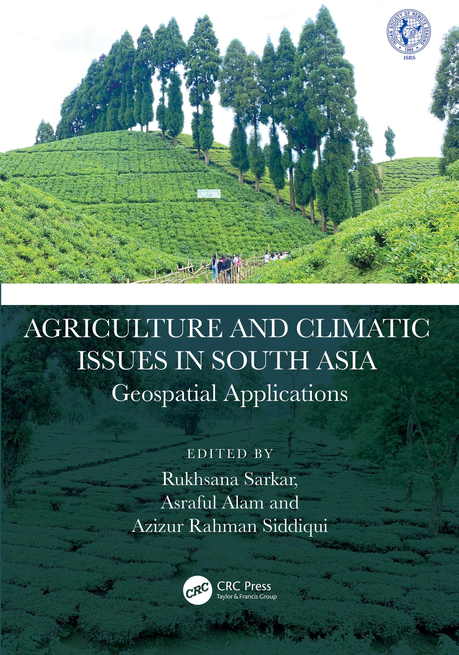
This book presents focussed information related to dynamic cropland transformation, agriculture development, climate change, and environment with the application of advance geospatial technology. It describes research using geospatial tools and techniques to develop the models, design, and planning for agricultural land use optimization especially in south Asian countries. It covers agriculture production, water scarcity, industrial development, natural resources, environmental degradation, and sustainable development.
Features:
- Provides the adaptation strategy from a multidisciplinary resilience perspective
- Addresses contemporary agricultural resilience to various climate change issues
- Develops novel approaches for sustainability with environmentally sound practices
- Discusses methodological and innovative approaches at local to global perspective
- Reports research using geospatial tools and techniques to develop the models, design, and planning for agricultural land use optimization
The book is aimed at researchers, professionals, and graduate students in GIS, environmental engineering, geography, agriculture, and climate studies.
Płać wygodnie kartą, Klarną, Apple Pay lub Google Pay. Nie jesteś zadowolony? Zawsze masz 14-dniową gwarancję zwrotu pieniędzy. Więcej przeczytasz w naszych warunkach. Masz pytania? Napisz do nas na hello@memmo.org.
Memmo ułatwia naukę – gdziekolwiek jesteś na świecie. U nas znajdziesz podręczniki i sprytne narzędzia do nauki w jednym miejscu: streszczenia, quizy, podcasty i fiszki. A do tego Ted, Twój kumpel do nauki, który odpowie na wszystko, co Cię nurtuje. Ponad 50 000 studentów już tu się uczy – stworzone, byś uczył się szybciej i mniej stresował.