
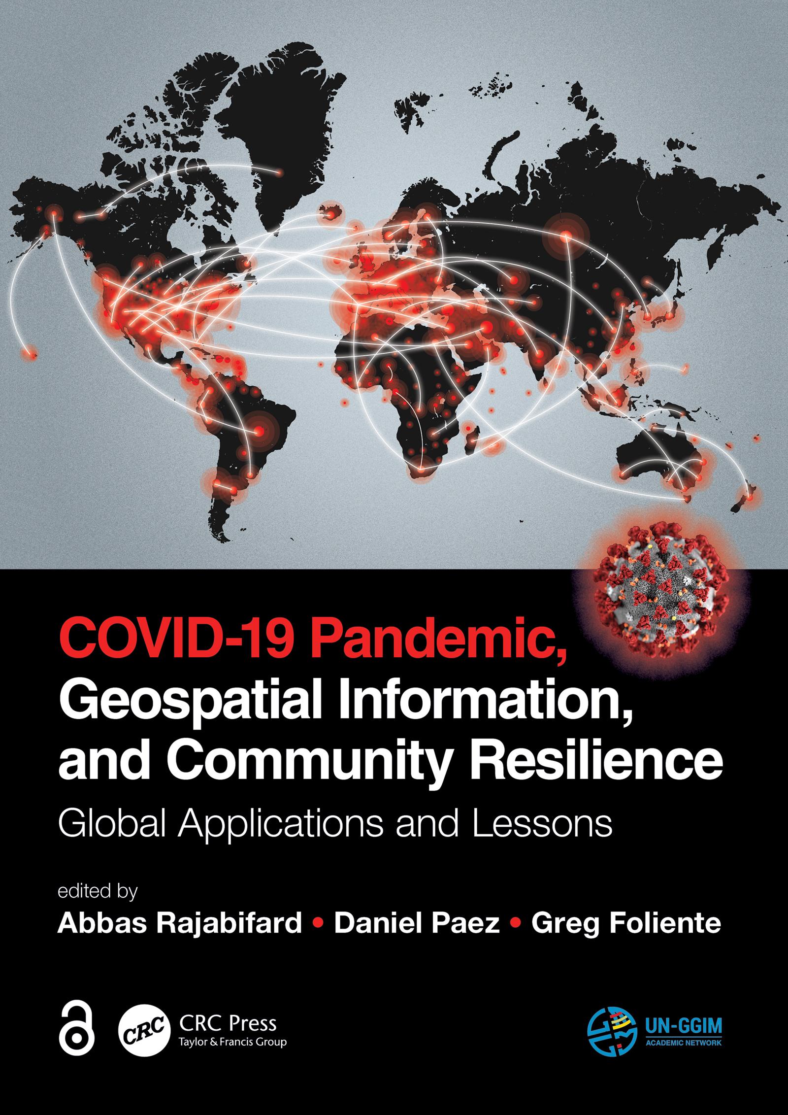
"The Open Access version of this book, available at https://www.taylorfrancis.com/books/oa-edit/10.1201/9781003181590, has been made available under a Creative Commons Attribution-Non Commercial-No Derivatives 4.0 license."
Geospatial information plays an important role in managing location dependent pandemic situations across different communities and domains. Geospatial information and technologies are particularly critical to strengthening urban and rural resilience, where economic, agricultural, and various social sectors all intersect. Examining the United Nations' SDGs from a geospatial lens will ensure that the challenges are addressed for all populations in different locations. This book, with worldwide contributions focused on COVID-19 pandemic, provides interdisciplinary analysis and multi-sectoral expertise on the use of geospatial information and location intelligence to support community resilience and authorities to manage pandemics.
Płać wygodnie kartą, Klarną, Apple Pay lub Google Pay. Nie jesteś zadowolony? Zawsze masz 14-dniową gwarancję zwrotu pieniędzy. Więcej przeczytasz w naszych warunkach. Masz pytania? Napisz do nas na hello@memmo.org.
Memmo ułatwia naukę – gdziekolwiek jesteś na świecie. U nas znajdziesz podręczniki i sprytne narzędzia do nauki w jednym miejscu: streszczenia, quizy, podcasty i fiszki. A do tego Ted, Twój kumpel do nauki, który odpowie na wszystko, co Cię nurtuje. Ponad 50 000 studentów już tu się uczy – stworzone, byś uczył się szybciej i mniej stresował.