
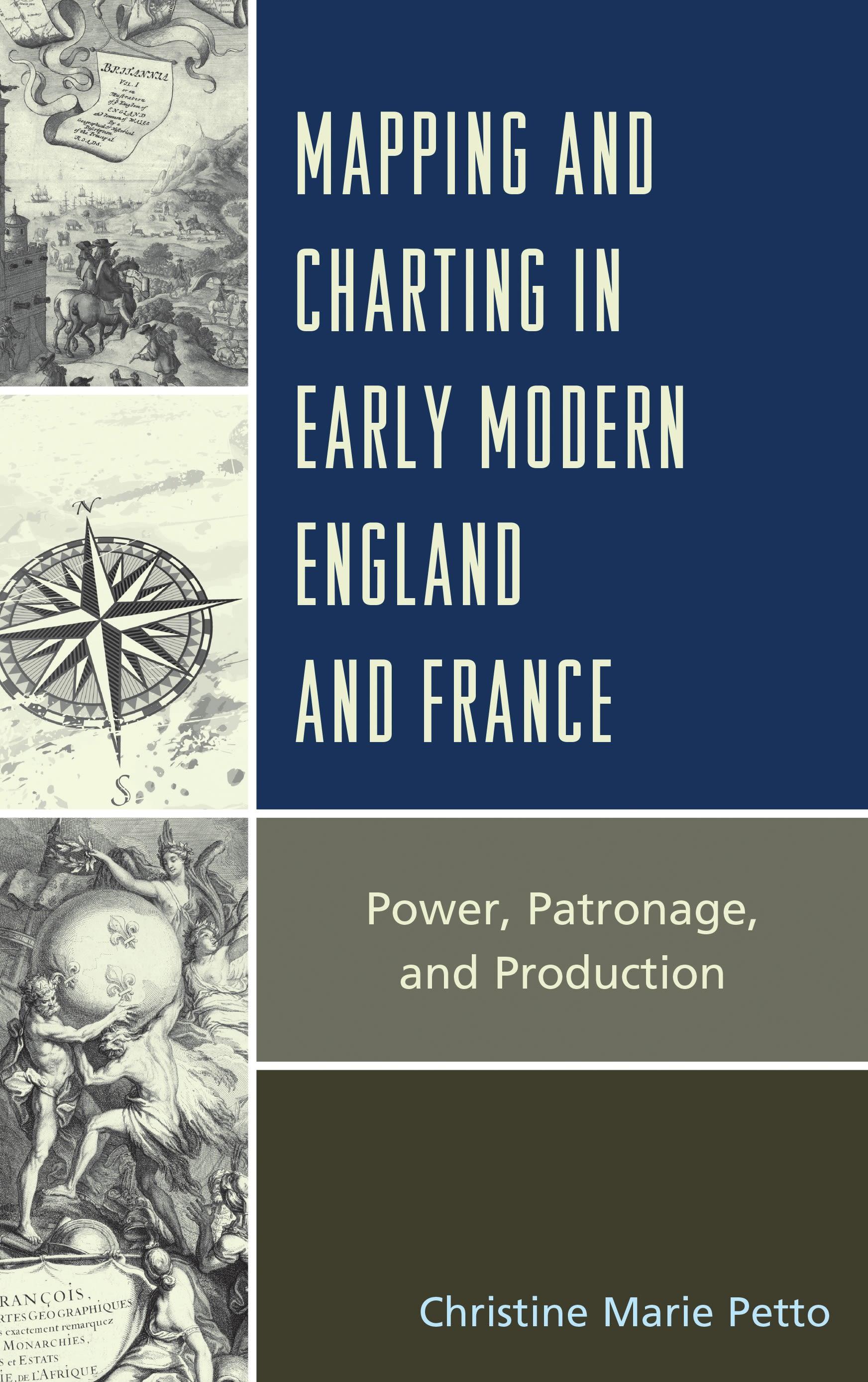
Mapping and Charting for the Lion and the Lily: Map and Atlas Production in Early Modern England and France is a comparative study of the production and role of maps, charts, and atlases in early modern England and France, with a particular focus on Paris, the cartographic center of production from the late seventeenth century to the late eighteenth century, and London, which began to emerge (in the late eighteenth century) to eclipse the once favored Bourbon center. The themes that carry through the work address the role of government in map and chart making. In France, in particular, it is the importance of the centralized government and its support for geographic works and their makers through a broad and deep institutional infrastructure. Prior to the late eighteenth century in England, there was no central controlling agency or institution for map, chart, or atlas production, and any official power was imposed through the market rather than through the establishment of institutions. There was no centralized support for the cartographic enterprise and any effort by the crown was often challenged by the power of Parliament which saw little value in fostering or supporting scholar-geographers or a national survey.
This book begins with an investigation of the imagery of power on map and atlas frontispieces from the late sixteenth century to the seventeenth century. In the succeeding chapters the focus moves from county and regional mapping efforts in England and France to the “paper wars” over encroachment in their respective colonial interests. The final study looks at charting efforts and highlights the role of government support and the commercial trade in the development of maritime charts not only for the home waters of the English Channel, but the distant and dangerous seas of the East Indies.
This book begins with an investigation of the imagery of power on map and atlas frontispieces from the late sixteenth century to the seventeenth century. In the succeeding chapters the focus moves from county and regional mapping efforts in England and France to the “paper wars” over encroachment in their respective colonial interests. The final study looks at charting efforts and highlights the role of government support and the commercial trade in the development of maritime charts not only for the home waters of the English Channel, but the distant and dangerous seas of the East Indies.
Płać wygodnie kartą, Klarną, Apple Pay lub Google Pay. Nie jesteś zadowolony? Zawsze masz 14-dniową gwarancję zwrotu pieniędzy. Więcej przeczytasz w naszych warunkach. Masz pytania? Napisz do nas na hello@memmo.org.
Memmo ułatwia naukę – gdziekolwiek jesteś na świecie. U nas znajdziesz podręczniki i sprytne narzędzia do nauki w jednym miejscu: streszczenia, quizy, podcasty i fiszki. A do tego Ted, Twój kumpel do nauki, który odpowie na wszystko, co Cię nurtuje. Ponad 50 000 studentów już tu się uczy – stworzone, byś uczył się szybciej i mniej stresował.