
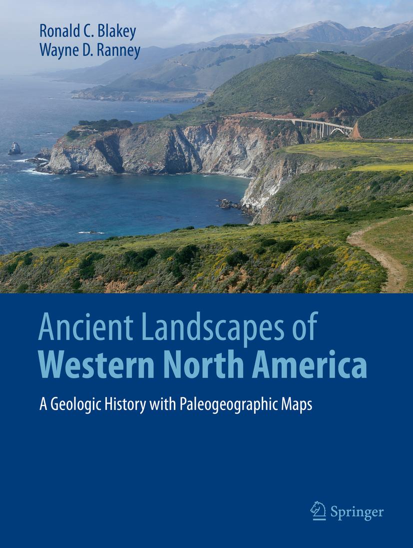
Allow yourself to be taken back into deep geologic time when strange creatures roamed the Earth and Western North America looked completely unlike the modern landscape. Volcanic islands stretched from Mexico to Alaska, most of the Pacific Rim didn’t exist yet, at least not as widespread dry land; terranes drifted from across the Pacific to dock on Western Americas’ shores creating mountains and more volcanic activity. Landscapes were transposed north or south by thousands of kilometers along huge fault systems. Follow these events through paleogeographic maps that look like satellite views of ancient Earth. Accompanying text takes the reader into the science behind these maps and the geologic history that they portray. The maps and text unfold the complex geologic history of the region as never seen before.
Winner of the 2021 John D. Haun Landmark Publication Award, AAPG-Rocky Mountain Section
Paga facilmente con carta, Klarna, Apple Pay o Google Pay. Non sei soddisfatto? Hai sempre 14 giorni per il rimborso. Leggi di più nei nostri termini. Per qualsiasi domanda, scrivici a hello@memmo.org.
Memmo rende lo studio più facile, ovunque tu sia nel mondo. Qui trovi i tuoi libri di testo e strumenti di studio intelligenti, tutto in un unico posto: riassunti, quiz, podcast e flashcard. E poi c'è Ted, il tuo compagno di studio che risponde a ogni tua domanda. Oltre 50.000 studenti studiano già qui: è stato creato per aiutarti a imparare più velocemente e a stressarti meno.