
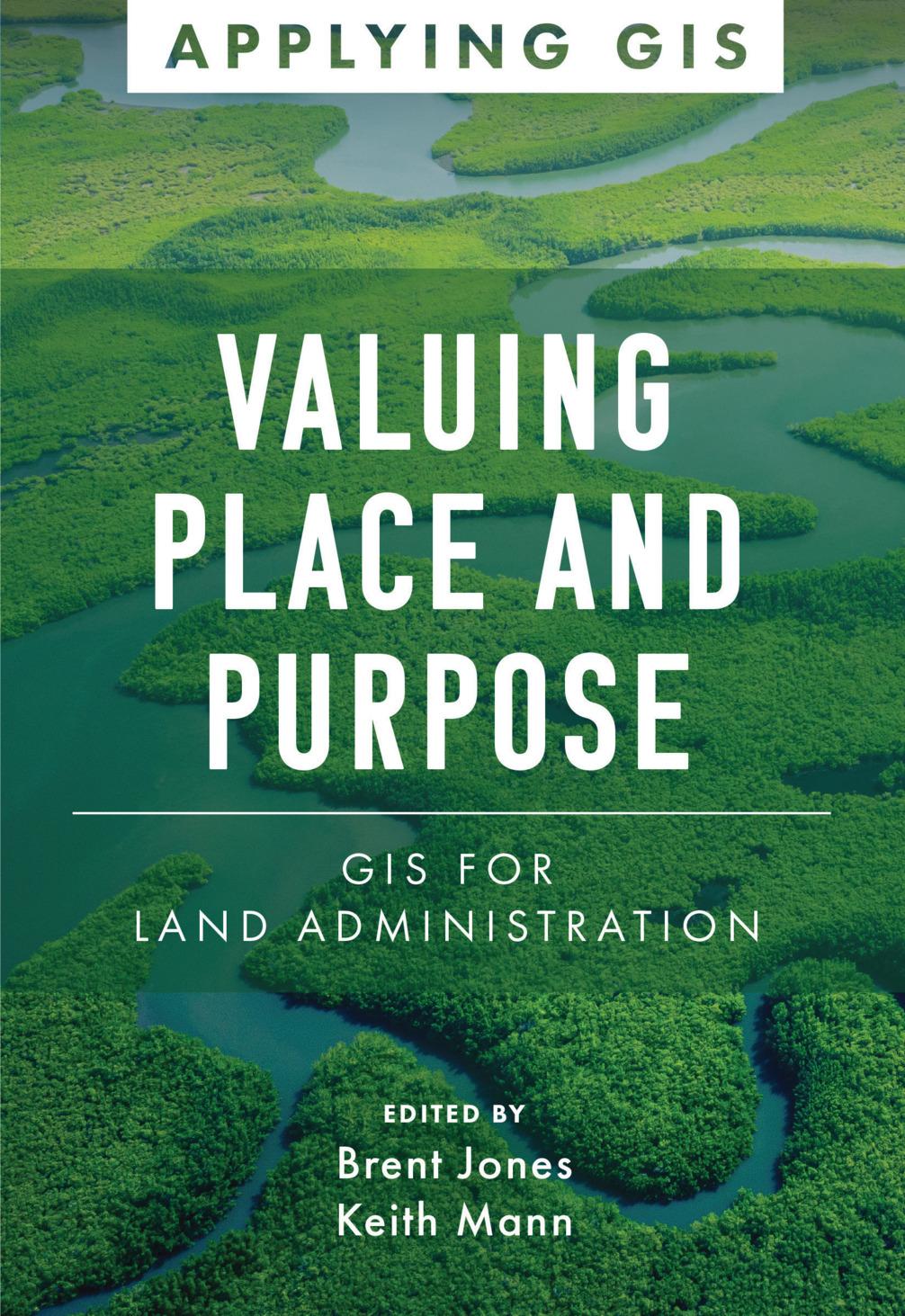
Modern land administration applies geospatial thinking to better understand and plan the proper use, conservation, and equitable use of land and property.
Location intelligence is changing the way land administration works to protect and maintain appropriate land use and achieve better economic, environmental, and social benefits. The real-life stories in Valuing Place and Purpose: GIS for Land Administration show how communities, government agencies, nonprofits, and other organizations implement geographic information systems (GIS) in four key areas:
· Visualizing parcels and property
· Managing land use
· Strengthening climate and conservation efforts
· Addressing land rights, equity, and social justice
The book also includes a special section to help readers get started using web apps, online maps, dashboards, and other GIS solutions to represent and understand the value of land and property and efficiently manage, edit, and share land parcel data more accurately.
Paga facilmente con carta, Klarna, Apple Pay o Google Pay. Non sei soddisfatto? Hai sempre 14 giorni per il rimborso. Leggi di più nei nostri termini. Per qualsiasi domanda, scrivici a hello@memmo.org.
Memmo rende lo studio più facile, ovunque tu sia nel mondo. Qui trovi i tuoi libri di testo e strumenti di studio intelligenti, tutto in un unico posto: riassunti, quiz, podcast e flashcard. E poi c'è Ted, il tuo compagno di studio che risponde a ogni tua domanda. Oltre 50.000 studenti studiano già qui: è stato creato per aiutarti a imparare più velocemente e a stressarti meno.