
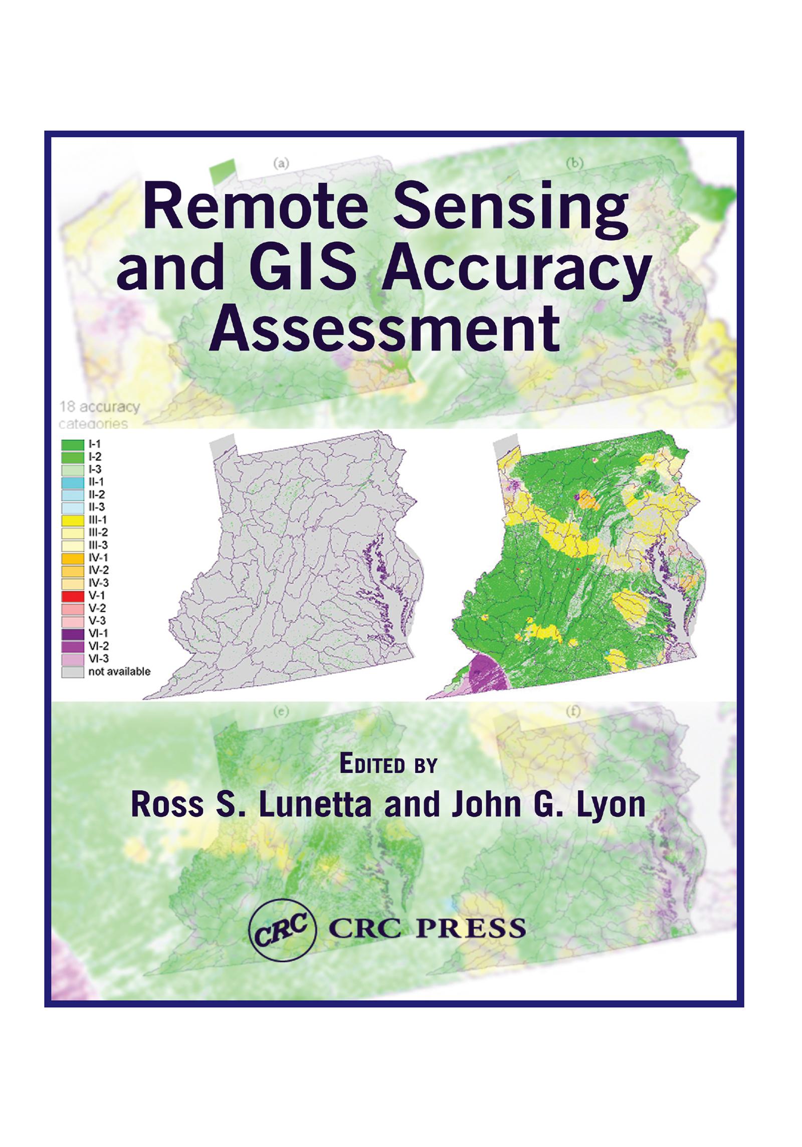
Based upon a special symposium sponsored by the U.S. Environmental Protection Agency (EPA), Remote Sensing and GIS Accuracy Assessment evaluates the important scientific elements related to the performance of accuracy assessments for remotely sensed data, GIS data analysis, and integration products. Scientists from federal, state, and local governments, academia, and nongovernmental organizations present technical papers which examine sampling issues, reference data collection, edge and boundary effects, error matrix and fuzzy assessments, error budget analysis, and change detection accuracy assessment. This compilation contains 20 chapters that represent important symposium outcomes.
Paga facilmente con carta, Klarna, Apple Pay o Google Pay. Non sei soddisfatto? Hai sempre 14 giorni per il rimborso. Leggi di più nei nostri termini. Per qualsiasi domanda, scrivici a hello@memmo.org.
Memmo rende lo studio più facile, ovunque tu sia nel mondo. Qui trovi i tuoi libri di testo e strumenti di studio intelligenti, tutto in un unico posto: riassunti, quiz, podcast e flashcard. E poi c'è Ted, il tuo compagno di studio che risponde a ogni tua domanda. Oltre 50.000 studenti studiano già qui: è stato creato per aiutarti a imparare più velocemente e a stressarti meno.
Potrebbe interessarti anche
Acquista il libro0