
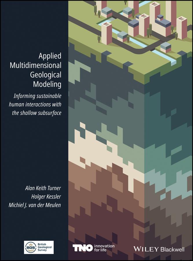
Over the past decades, geological survey organizations have digitized their data handling and holdings, unlocking vast amounts of data and information for computer processing. They have undertaken 3-D modeling alongside, and in some cases instead of, conventional geological mapping and begun delivering both data and interpretations to increasingly diverse stakeholder communities. Applied Multidimensional Geological Modeling provides a citable central source that documents the current capabilities and contributions of leading geological survey organization and other practitioners in industry and academia that are producing multidimensional geological models.
This book focuses on applications related to human interactions with conditions in the shallow subsurface, within 100-200 m of the surface. The 26 chapters, developed by 100 contributors associated with 37 organizations, discuss topics relevant to any geologist, scientist, engineer, urban planner, or decision maker whose practice includes assessment or planning of underground space.
Paga facilmente con carta, Klarna, Apple Pay o Google Pay. Non sei soddisfatto? Hai sempre 14 giorni per il rimborso. Leggi di più nei nostri termini. Per qualsiasi domanda, scrivici a hello@memmo.org.
Memmo rende lo studio più facile, ovunque tu sia nel mondo. Qui trovi i tuoi libri di testo e strumenti di studio intelligenti, tutto in un unico posto: riassunti, quiz, podcast e flashcard. E poi c'è Ted, il tuo compagno di studio che risponde a ogni tua domanda. Oltre 50.000 studenti studiano già qui: è stato creato per aiutarti a imparare più velocemente e a stressarti meno.