
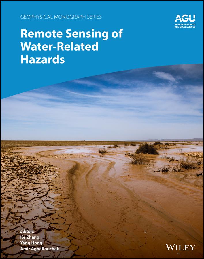
Applications of remote sensing technology for monitoring and predicting water-related hazards
Water-related hazards such as floods and droughts have serious impacts on society. Their incidence has increased in recent decades, a trend set to continue with ongoing climate change. Adaptation and mitigation measures require accurate detection, monitoring, and forecasting, much of which comes from remote sensing technologies.
Remote Sensing of Water-Related Hazards takes an interdisciplinary approach, presenting recent advances in the available data, sensors, models, and indicators developed for monitoring and prediction.
Volume highlights include:
- Progress in remote sensing of precipitation, storms, and tornados
- Different techniques for flood mapping, forecasting, and early warning
- Integrated approach for predicting flood and landslide cascading hazards
- Satellite monitoring of water cycle variation, water scarcity, and drought conditions
- Multi-indicator and multi-sensor approaches for quantifying drought impacts
The American Geophysical Union promotes discovery in Earth and space science for the benefit of humanity. Its publications disseminate scientific knowledge and provide resources for researchers, students, and professionals.
Paga facilmente con carta, Klarna, Apple Pay o Google Pay. Non sei soddisfatto? Hai sempre 14 giorni per il rimborso. Leggi di più nei nostri termini. Per qualsiasi domanda, scrivici a hello@memmo.org.
Memmo rende lo studio più facile, ovunque tu sia nel mondo. Qui trovi i tuoi libri di testo e strumenti di studio intelligenti, tutto in un unico posto: riassunti, quiz, podcast e flashcard. E poi c'è Ted, il tuo compagno di studio che risponde a ogni tua domanda. Oltre 50.000 studenti studiano già qui: è stato creato per aiutarti a imparare più velocemente e a stressarti meno.