
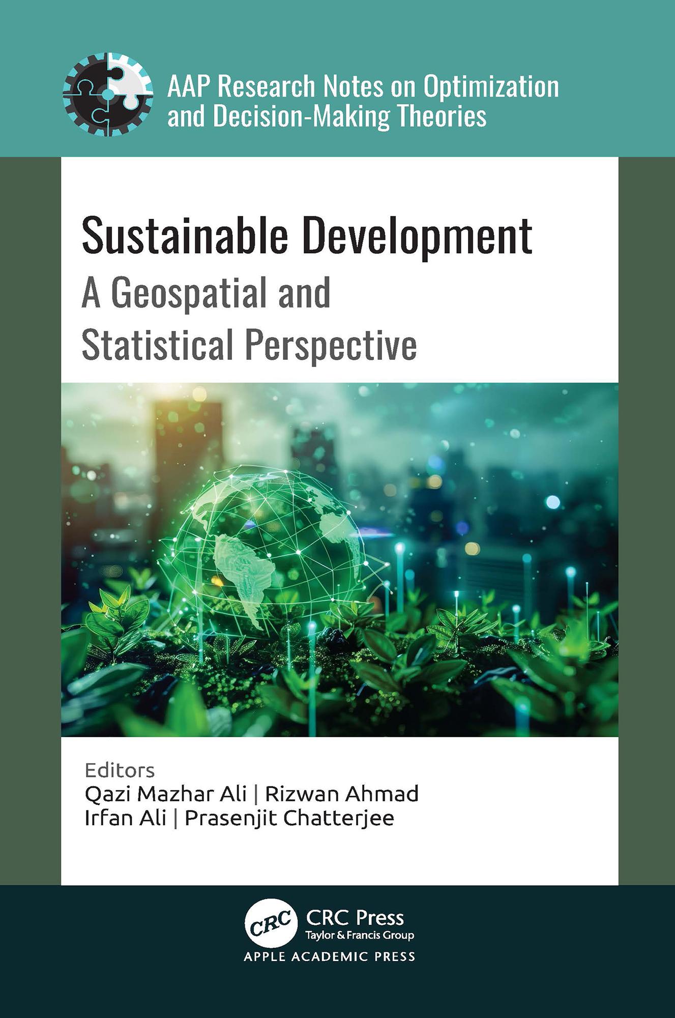
A comprehensive exploration of the intersection between the United Nations’ Sustainable Development Goals (SDGs) and geospatial technology, this new book analyzes how geospatial and statistical information, including satellite imagery, geographic information systems, remote sensing, and statistical tools and data analysis techniques, are effectively employed to assess, monitor, and facilitate sustainable development initiatives.
Paga facilmente con carta, Klarna, Apple Pay o Google Pay. Non sei soddisfatto? Hai sempre 14 giorni per il rimborso. Leggi di più nei nostri termini. Per qualsiasi domanda, scrivici a hello@memmo.org.
Memmo rende lo studio più facile, ovunque tu sia nel mondo. Qui trovi i tuoi libri di testo e strumenti di studio intelligenti, tutto in un unico posto: riassunti, quiz, podcast e flashcard. E poi c'è Ted, il tuo compagno di studio che risponde a ogni tua domanda. Oltre 50.000 studenti studiano già qui: è stato creato per aiutarti a imparare più velocemente e a stressarti meno.