
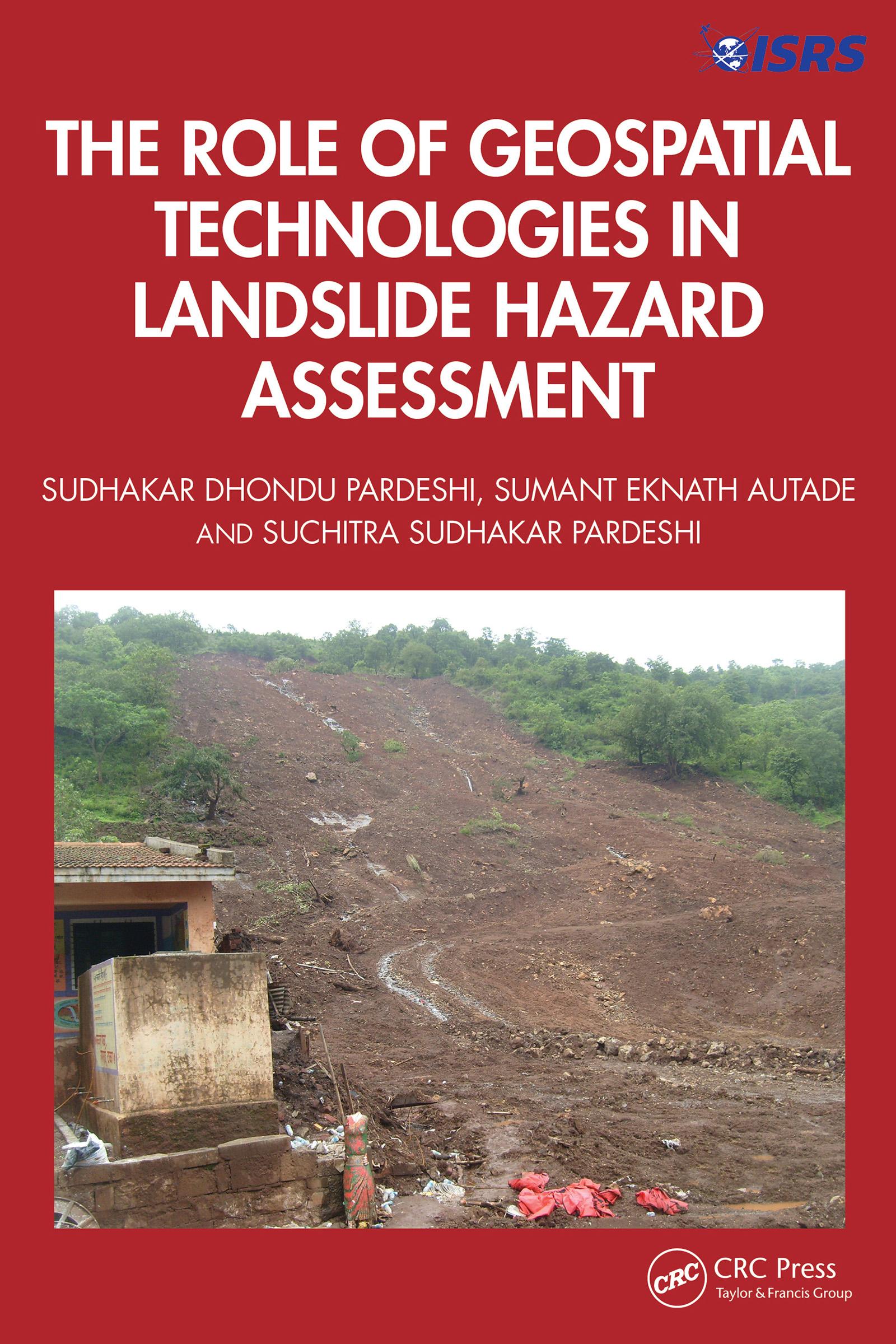
This book is designed to provide a detailed, methodological framework for landslide hazard assessment. The focus is on various dimensions of landslide hazard assessment, including the terminologies used in landslide hazard analysis and landslide inventory systems used globally and their relevance in generating a complete and reliable landslide database for further analysis, supported by global case studies. It includes an overview of the methodological developments in landslide hazard assessment and role of geospatial technologies in landslide studies.
Features:
- Helps readers to understand the technical details of geospatial techniques applied in hazard management.
- Deals with the practicalities of how to recognise and classify unstable terrain.
- Covers recent advances in landslide estimation, particularly the automated means of landslide susceptibility estimation.
- Explores methodological frameworks of landslide hazard assessment.
- Illustrates case studies from the United States, Europe, and Asia, including demonstrations of different methodologies of landslide susceptibility zonation.
This book is aimed at researchers, graduate students, and libraries in geotechnical and environmental engineering.
Paga facilmente con carta, Klarna, Apple Pay o Google Pay. Non sei soddisfatto? Hai sempre 14 giorni per il rimborso. Leggi di più nei nostri termini. Per qualsiasi domanda, scrivici a hello@memmo.org.
Memmo rende lo studio più facile, ovunque tu sia nel mondo. Qui trovi i tuoi libri di testo e strumenti di studio intelligenti, tutto in un unico posto: riassunti, quiz, podcast e flashcard. E poi c'è Ted, il tuo compagno di studio che risponde a ogni tua domanda. Oltre 50.000 studenti studiano già qui: è stato creato per aiutarti a imparare più velocemente e a stressarti meno.