
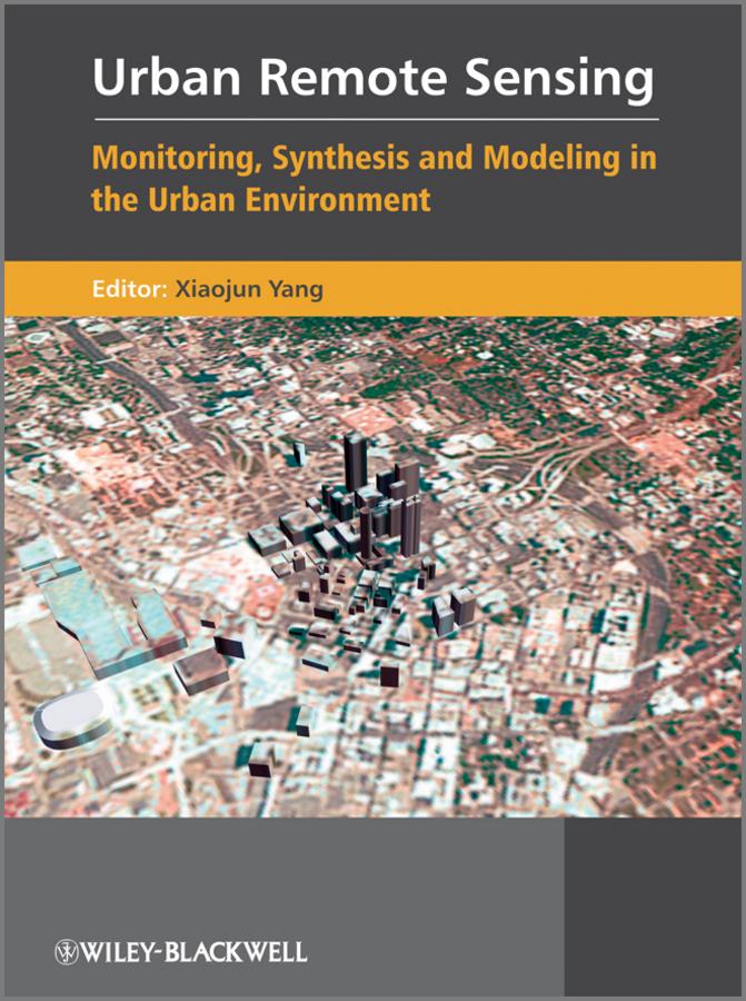
Urban Remote Sensing is designed for upper level undergraduates, graduates, researchers and practitioners, and has a clear focus on the development of remote sensing technology for monitoring, synthesis and modeling in the urban environment. It covers four major areas: the use of high-resolution satellite imagery or alternative sources of image date (such as high-resolution SAR and LIDAR) for urban feature extraction; the development of improved image processing algorithms and techniques for deriving accurate and consistent information on urban attributes from remote sensor data; the development of analytical techniques and methods for deriving indicators of socioeconomic and environmental conditions that prevail within urban landscape; and the development of remote sensing and spatial analytical techniques for urban growth simulation and predictive modeling.
Paga facilmente con carta, Klarna, Apple Pay o Google Pay. Non sei soddisfatto? Hai sempre 14 giorni per il rimborso. Leggi di più nei nostri termini. Per qualsiasi domanda, scrivici a hello@memmo.org.
Memmo rende lo studio più facile, ovunque tu sia nel mondo. Qui trovi i tuoi libri di testo e strumenti di studio intelligenti, tutto in un unico posto: riassunti, quiz, podcast e flashcard. E poi c'è Ted, il tuo compagno di studio che risponde a ogni tua domanda. Oltre 50.000 studenti studiano già qui: è stato creato per aiutarti a imparare più velocemente e a stressarti meno.