
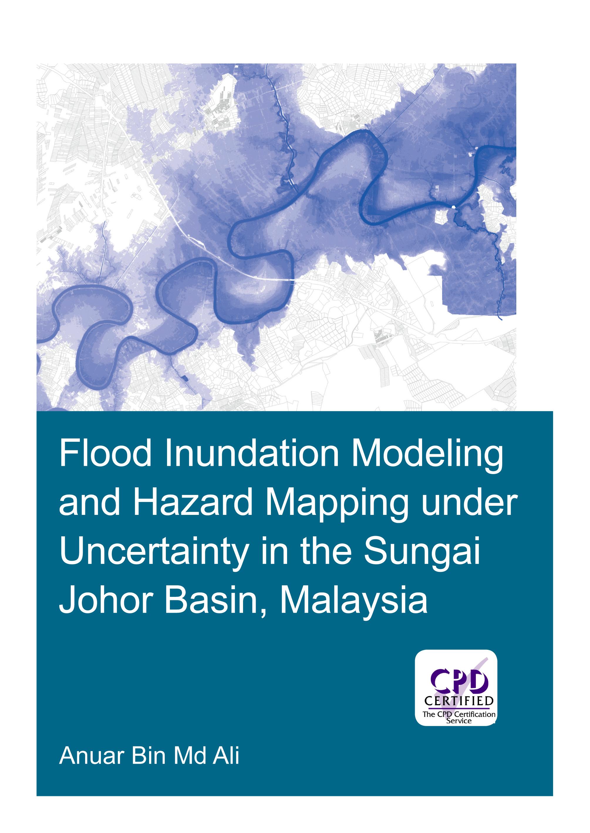
Flooding can have devastating impacts on people’s livelihood, economy and the environment. An important instrument in flood management is floodplain maps, which assist land planners and local authorities in identifying flood-prone areas, and provide useful information for rescue and relief agencies for their operations. Developing floodplain maps often involves flood inundation modeling. This typically requires precipitation and stream flow data, topographic information, building a hydraulic model and calibration of its parameters. Often however, floodplain maps are built on a single model outcome without an explicit consideration of all the sources of uncertainty in the modeling process.
The research presented in this thesis addresses the uncertainty in flood inundation modeling, which may arise from input data and hydraulic modeling approach. The study area is the Sungai Johor basin in Johor, Malaysia, an agriculture-dominated area. The present study analyses the modelling uncertainties arising from estimations of design flow, terrain data sets, geometric description in hydraulic models and different modeling approaches, and develops recommendations for practitioners. Explicit account for uncertainties and studying their impact in flood inundation mapping allow for more informed and effective decision making.
Paga facilmente con carta, Klarna, Apple Pay o Google Pay. Non sei soddisfatto? Hai sempre 14 giorni per il rimborso. Leggi di più nei nostri termini. Per qualsiasi domanda, scrivici a hello@memmo.org.
Memmo rende lo studio più facile, ovunque tu sia nel mondo. Qui trovi i tuoi libri di testo e strumenti di studio intelligenti, tutto in un unico posto: riassunti, quiz, podcast e flashcard. E poi c'è Ted, il tuo compagno di studio che risponde a ogni tua domanda. Oltre 50.000 studenti studiano già qui: è stato creato per aiutarti a imparare più velocemente e a stressarti meno.