
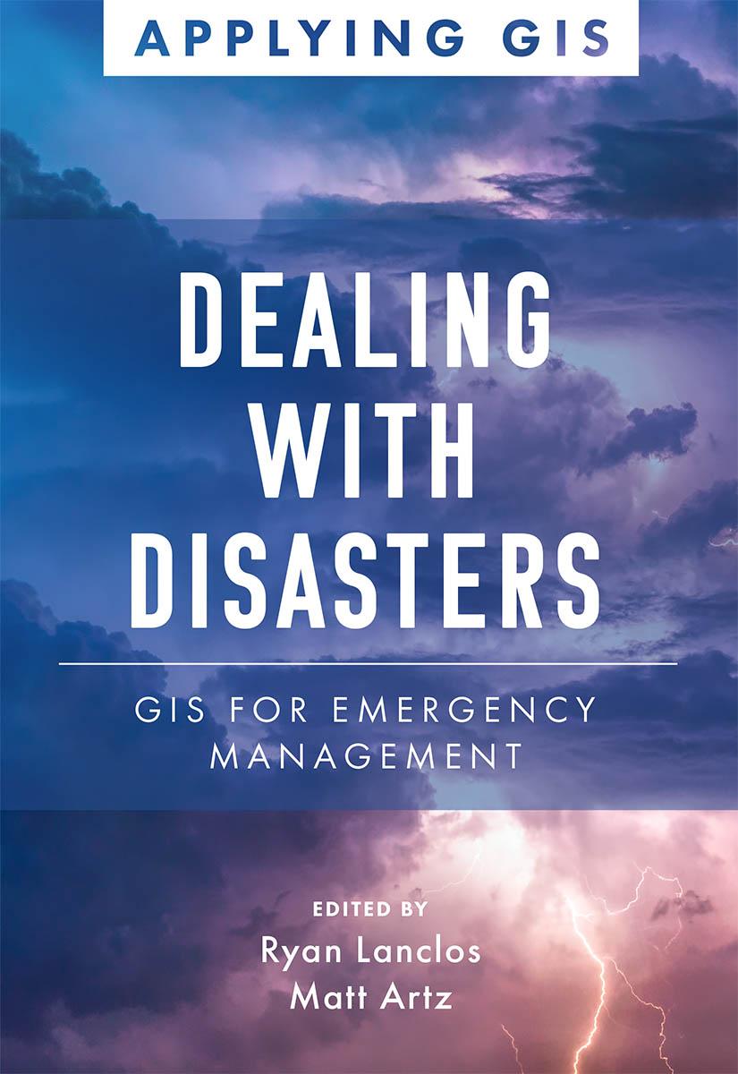
Discover a modern approach to understanding threats and hazards that are more complex, costly, and devastating than ever before.
Agencies around the world rely on geographic information systems (GIS) every day to plan for and mitigate complicated threats and hazards and coordinate emergency response and recovery efforts. Location intelligence provides the kind of deep, real-time data insights needed for managers, directors, and other decision-makers to analyze risk, gain situational awareness, and manage tomorrow’s emergencies.
Dealing with Disasters: GIS for Emergency Management explores a collection of real-life case studies about emergency management agencies successfully using GIS for real and potential hazards. Chapters are laid out to explore three primary areas of disaster management:
- Preparedness: To effectively reduce risks, emergency management professionals must incorporate real-time data, big data, and other critical data feeds into their analysis. Learn how organizations spanning from Arizona to Taiwan use data-driven insights to effectively prepare for worst-case scenarios.
- Response: Emergency management professionals must become more agile and informed at all points during response efforts. Find out how the US National Park Service, the Puerto Rico Emergency Operations Center, and others have successfully responded to growing threats that require agility and effective communication to save lives and property.
- Recovery: Recovery efforts can take years, and it's critical to avoid missteps that delay progress. See how tools like drones help refugees; imagery helps insurance companies; and maps help post-tornado efforts while aiding in prioritizing work and delivering on every recovery dollar invested in a community.
Each of the three themed parts also includes a "how to get started" section that provides ideas, strategies, tools, and actions to help jump-start your own use of GIS for emergency management, and an index organized by disaster type allows you to quickly learn or refresh yourself on GIS implementation. A collection of online resources, including additional stories, videos, new ideas and concepts, and downloadable tools and content, complements this book. Use Dealing with Disasters: GIS for Emergency Management as a guide for strategizing against and surviving the emergencies that befall communities.
Introduction by Martin O'Malley, former governor of Maryland, former mayor of Baltimore, and author of Smarter Government: How to Govern for Results in the Information Age (Esri Press, 2019).
Zahle einfach mit Karte, Klarna, Apple Pay oder Google Pay. Nicht zufrieden? Du hast immer ein 14-tägiges Widerrufsrecht. Lies mehr in unseren AGB. Hast du Fragen, schreib uns eine E-Mail an hello@memmo.org.
Memmo macht das Lernen einfacher – wo auch immer du bist. Bei uns findest du deine Kursbücher und smarte Lerntools an einem Ort: Zusammenfassungen, Quizzes, Podcasts und Lernkarten. Und Ted, dein Lernbuddy, beantwortet alles, was du wissen möchtest. Über 50.000 Studierende lernen bereits hier – gemacht, damit du schneller lernst und weniger Stress hast.