
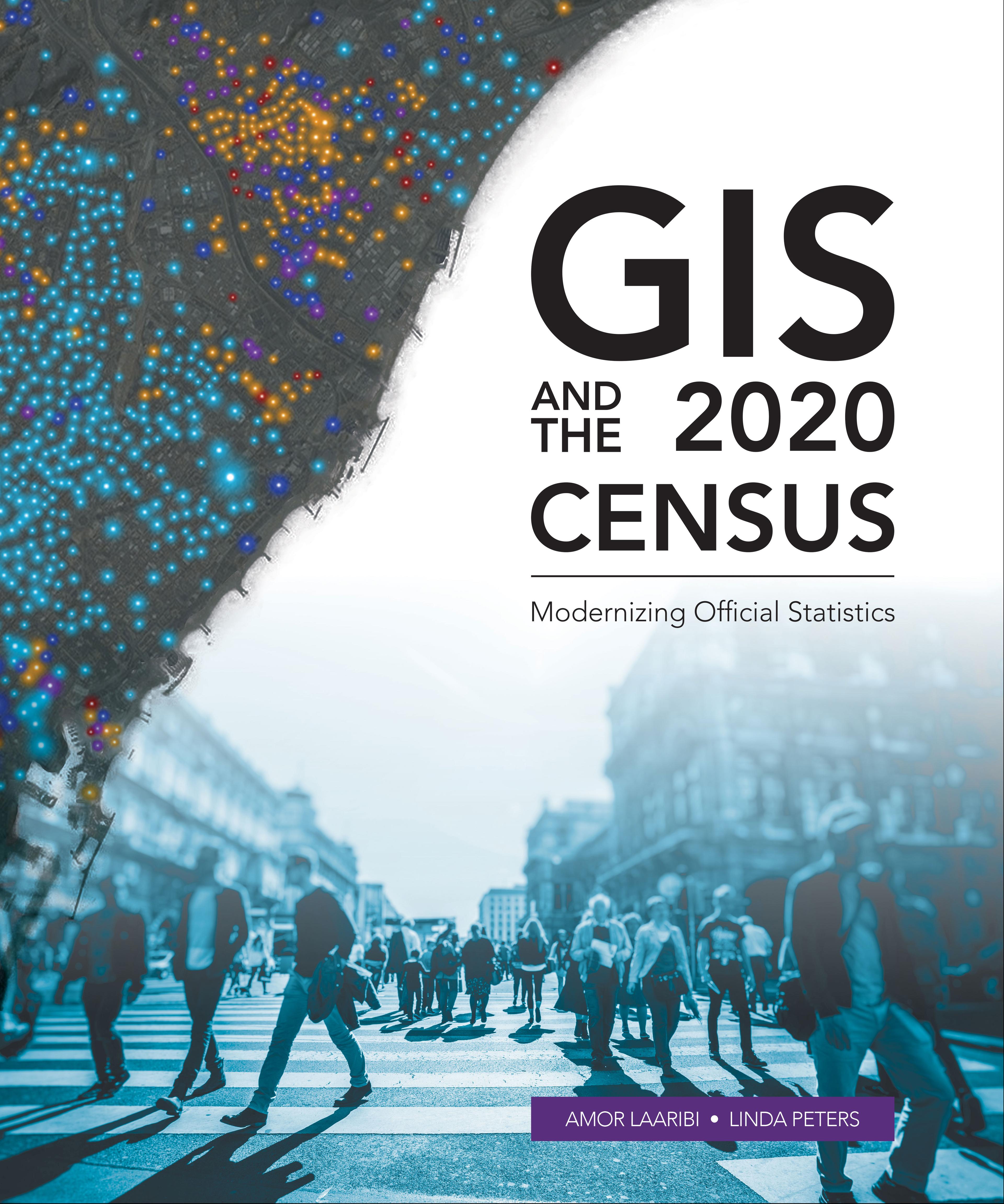
Census workers need to capture and analyze information at the finest geographic level with mobile and geospatial-based technology.
GIS and the 2020 Census: Modernizing Official Statistics guides statistical organizations with the most recent GIS methodologies and technological tools to support census workers’ needs at all the stages of a census. Learn how to plan and carry out census work with GIS using new technologies for field data collection and operations management. After planning and collecting data, apply innovative solutions for performing statistical analysis, data integration and dissemination. Additional topics cover cloud computing, big data, location as a Service (LaaS), and emerging data sources.
While GIS and the 2020 Census focuses on using GIS and other geospatial technology in support of census planning and operations, it also offers guidelines for building a statistical-geospatial information infrastructure in support of the 2020 Round of Censuses, evidence-based decision-making, and sustainable development. Case studies illustrate concepts in practice.
Zahle einfach mit Karte, Klarna, Apple Pay oder Google Pay. Nicht zufrieden? Du hast immer ein 14-tägiges Widerrufsrecht. Lies mehr in unseren AGB. Hast du Fragen, schreib uns eine E-Mail an hello@memmo.org.
Memmo macht das Lernen einfacher – wo auch immer du bist. Bei uns findest du deine Kursbücher und smarte Lerntools an einem Ort: Zusammenfassungen, Quizzes, Podcasts und Lernkarten. Und Ted, dein Lernbuddy, beantwortet alles, was du wissen möchtest. Über 50.000 Studierende lernen bereits hier – gemacht, damit du schneller lernst und weniger Stress hast.