
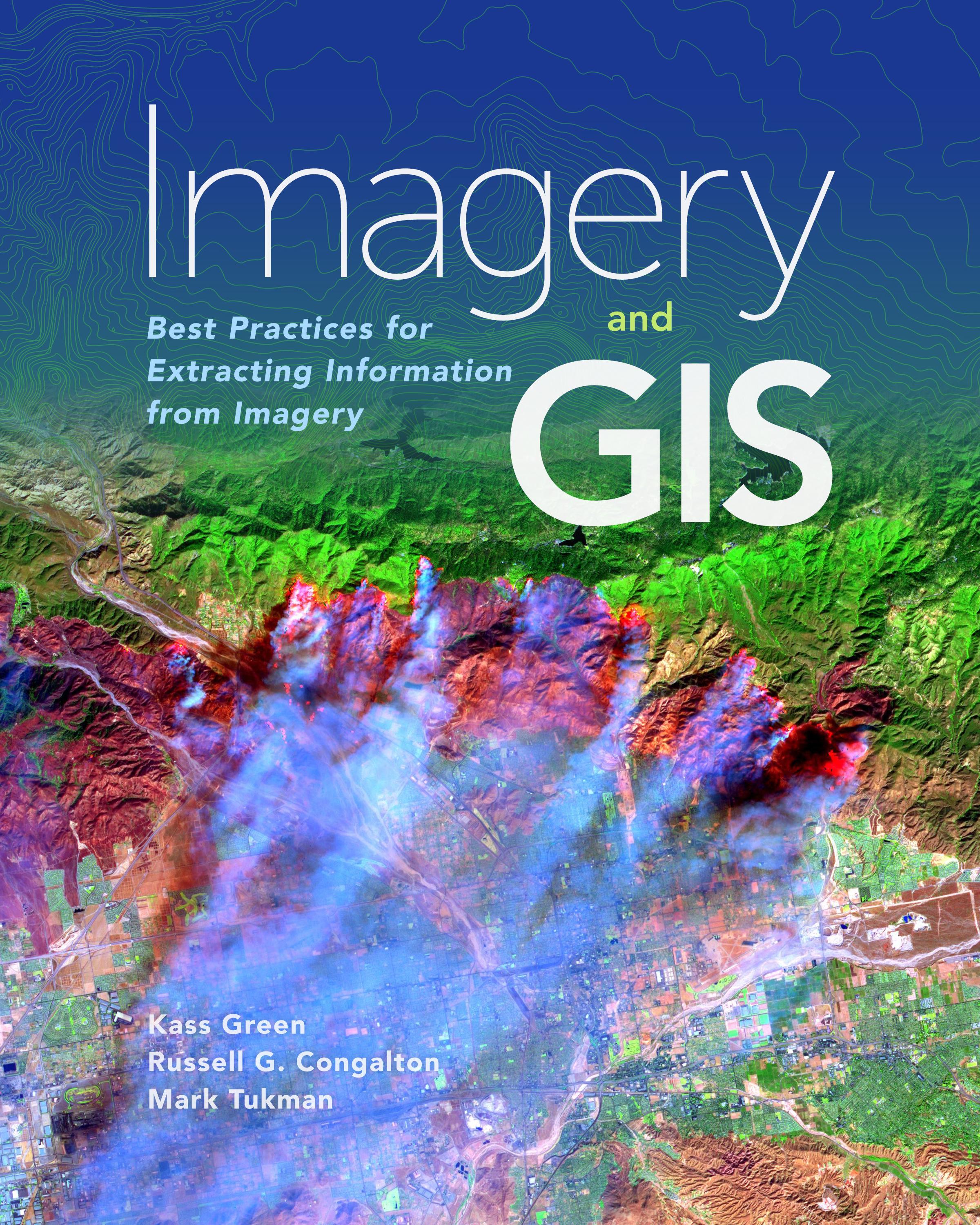
Imagery and GIS, working together, expand our perspective so that we can better perceive and understand The Science of Where™.
Today, most maps include imagery in the form of aerial photos, satellite images, thermal images, digital elevation models, and scanned maps. Imagery and GIS: Best Practices for Extracting Information from Imagery shows how imagery can be integrated successfully into GIS maps and analysis. In this essential reference, discover how imagery brings value to GIS and how GIS can be used to derive value from imagery. Learn from case studies and in-depth explanations about selecting the ‘right’ imagery, image analysis, how to efficiently manage and serve imagery datasets, and how to accurately extract information from imagery. The authors’ experience working together on numerous research, teaching, and operational remote sensing and GIS applications bestow the book with both the newest innovations, as well as proven advice.
Apply the best practices found in Imagery and GIS: Best Practices for Extracting Information from Imagery to obtain the most value from imagery in your own GIS projects.
Zahle einfach mit Karte, Klarna, Apple Pay oder Google Pay. Nicht zufrieden? Du hast immer ein 14-tägiges Widerrufsrecht. Lies mehr in unseren AGB. Hast du Fragen, schreib uns eine E-Mail an hello@memmo.org.
Memmo macht das Lernen einfacher – wo auch immer du bist. Bei uns findest du deine Kursbücher und smarte Lerntools an einem Ort: Zusammenfassungen, Quizzes, Podcasts und Lernkarten. Und Ted, dein Lernbuddy, beantwortet alles, was du wissen möchtest. Über 50.000 Studierende lernen bereits hier – gemacht, damit du schneller lernst und weniger Stress hast.