
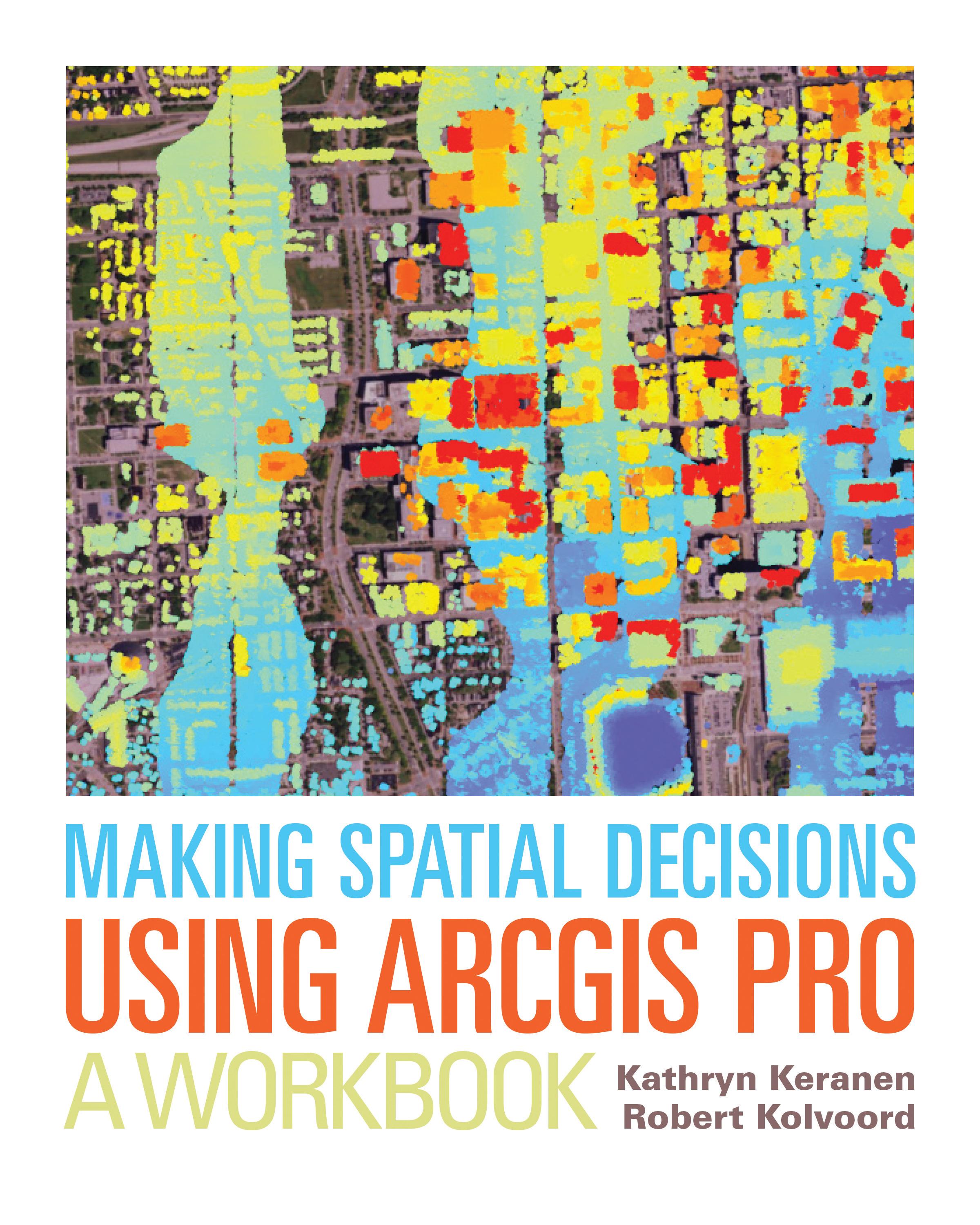
"How can we protect...?" "Where do we allocate...?" "What's the extent and pattern of...?" You have questions in a spatial context; Making Spatial Decisions Using ArcGIS Pro has answers based in The Science of Where™.
Making Spatial Decisions Using ArcGIS Pro is a textbook that provides the user with a broad overview of the capabilities of using ArcGIS Pro to use geospatial tools to solve real-world problems. This book takes full advantage of the integrative nature of ArcGIS Pro and its advanced capabilities to seamlessly unite cloud-based and desktop GIS. The lessons included in this book have been adapted and updated from lessons from Keranen and Kolvoord's popular first three Esri Press books: Making Spatial Decisions Using GIS, Making Spatial Decisions Using GIS and Remote Sensing, and Making Spatial Decisions Using GIS and Lidar.
Note: This book requires ArcGIS software. You can download the ArcGIS Trial at http://www.esri.com/arcgis/trial, contact your school or business Esri Site License Administrator, or purchase a student or individual license through the Esri Store.
Zahle einfach mit Karte, Klarna, Apple Pay oder Google Pay. Nicht zufrieden? Du hast immer ein 14-tägiges Widerrufsrecht. Lies mehr in unseren AGB. Hast du Fragen, schreib uns eine E-Mail an hello@memmo.org.
Memmo macht das Lernen einfacher – wo auch immer du bist. Bei uns findest du deine Kursbücher und smarte Lerntools an einem Ort: Zusammenfassungen, Quizzes, Podcasts und Lernkarten. Und Ted, dein Lernbuddy, beantwortet alles, was du wissen möchtest. Über 50.000 Studierende lernen bereits hier – gemacht, damit du schneller lernst und weniger Stress hast.